Climate & Environment

Climate science, earth systems and environmental research.

Abstract editorial illustration accompanying the article: Wildfire smoke in Montana carried more pollutants than models predicted

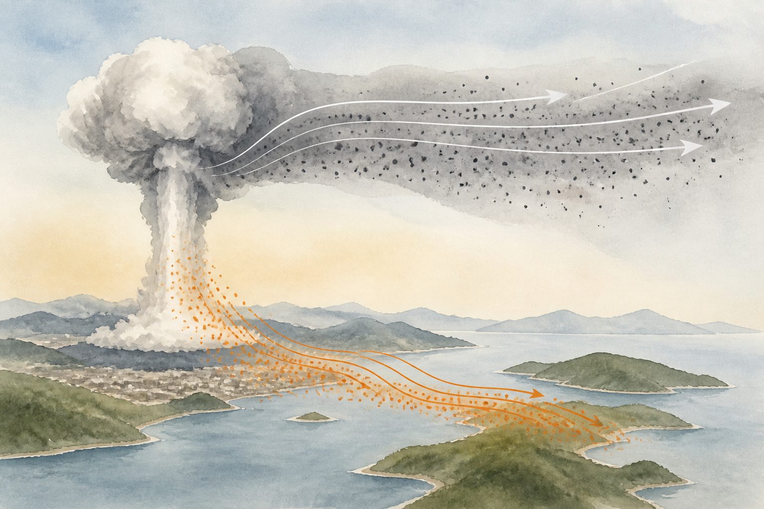
Wildfire smoke in Montana carried more pollutants than models predicted

Measurements in Missoula, Montana, found that aged wildfire smoke contained substantially more fine particles, carbon monoxide and chemical pollutants than a widely used atmospheric model predicted. The researchers estimated that an annually recurring 2020-style fire season would raise excess lifetime cancer risk to about 100 in 1 million, while the model understated that risk by about 40 percent.

·17 views
Abstract editorial illustration accompanying the article: Amazon stingless bees carried microplastics on their bodies

Amazon stingless bees carried microplastics on their bodies

Two native Amazonian stingless bee species carried microplastics in both urban and rural areas, with most particles attached to their outer bodies. The finding suggests these bees could help monitor pollution, while also raising questions about whether they transport plastic particles into natural areas.

·19 views
Abstract editorial illustration accompanying the article: Europe’s forest biomass losses accelerated after 2018

Europe’s forest biomass losses accelerated after 2018

Europe’s forests lost an estimated 6.5 ± 0.8 petagrams of aboveground biomass between 1985 and 2023, with annual losses accelerating after 2018. Harvests caused most of the total loss, while rising natural disturbances in biomass-rich temperate forests helped drive the recent increase.

·18 views
Abstract editorial illustration accompanying the article: Maps assess where agrivoltaic solar farms could work across Iberia

Maps assess where agrivoltaic solar farms could work across Iberia

Researchers built a geospatial framework to assess agrivoltaic solar farms across the Iberian Peninsula. The approach screens constraints, matches crops to local agroclimatic conditions, and compares simplified energy estimates for different solar layouts. It is tested in three case studies in Portugal and Spain, including a qualitative check against an existing pilot.

·49 views
Abstract editorial illustration accompanying the article: Sun angle and rough soil, not wetness, drive changing satellite soil colors

Sun angle and rough soil, not wetness, drive changing satellite soil colors

Satellite images often average bare-soil data over long periods, but the colors can change even under similar conditions. Using seven years of Landsat 8 and Sentinel-2 reflectance data from more than 27,000 European sites, researchers found that changes in solar angle interacting with rough bare soil explain most of the temporal variation, while surface moisture contributes less.

·23 views