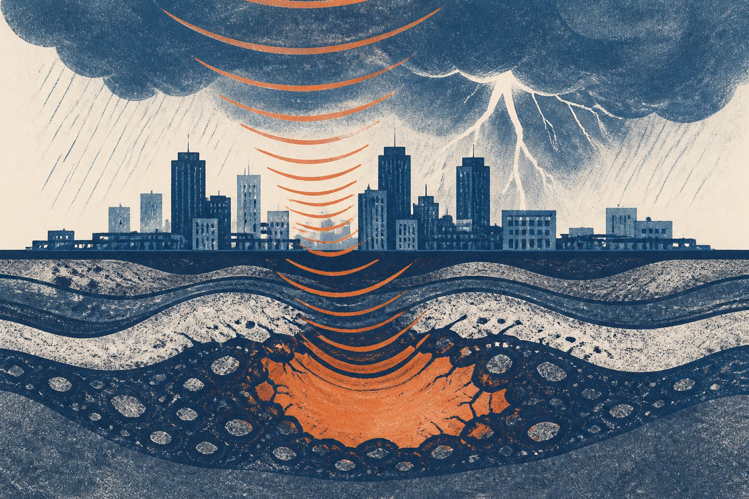
Lightning-linked ground vibrations recorded through fiber-optic cables helped map underground structure to about 100 meters deep.
Thunder creates atmospheric sound waves that can couple into the ground and produce seismic signals known as thunderquakes. In this study, researchers detected coherent surface waves from thunderquakes with distributed acoustic sensing, a technique that uses existing fiber-optic cables to measure tiny vibrations and strains.
The team analyzed 2.5 years of continuous data and 458 high-fidelity thunderquakes confirmed with lightning records. They used the signals to map underground shear-wave structure to about 100 meters deep, identifying several weak zones beneath an urban karst area. Some overlapped with surface deformation measured by radar, while borehole logs and engineering surveys provided additional checks.
Why the mapping matters
Thunderquakes could provide a way to image shallow underground structure without deploying traditional seismic sources. Because the signals come from weather and can be recorded with existing telecommunications cables, the approach may be useful in places where access for conventional seismic surveys is limited.
The study is especially relevant to the urban karst setting examined here, where hidden weak zones may be important for understanding underground conditions and related surface deformation. The abstract does not establish how broadly the method will work in other geological or urban environments.
Evidence and limits
The evidence combines 2.5 years of continuous fiber-optic sensing data, 458 lightning-validated thunderquakes, three-dimensional spectral-element simulations, and dispersion modeling. The underground image was also compared with independent radar measurements, borehole logs and engineering surveys.
This is a demonstration in an urban karst setting rather than evidence that the method works everywhere. Thunderquake wavefields are complex, and the study notes that their governing physics remain poorly constrained. The abstract also does not report the resolution or accuracy of the resulting image beyond its approximate depth range.