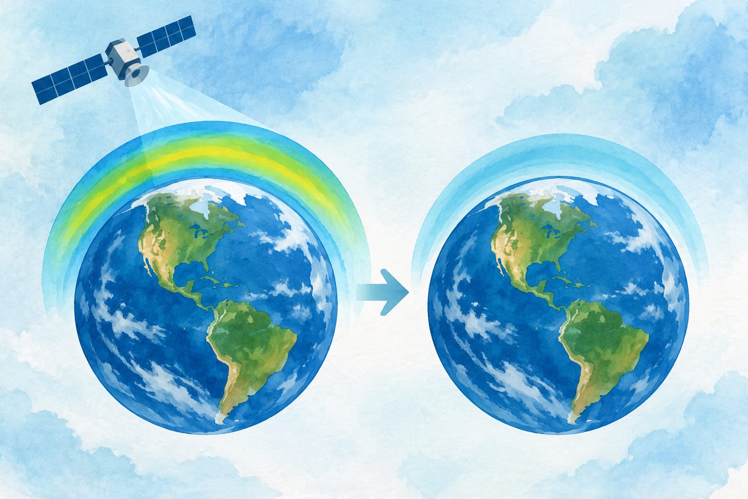
Satellite records show tropospheric ozone fell across most of the world since 2005
The decline covered about 70% of the globe, but ozone rose in parts of Asia before widespread falls after 2020.
Editorial illustration — not from the study.
Researchers combined improved satellite records with additional datasets and new methods for bringing measurements into agreement. They mapped the average amount and seasonal pattern of ozone in the free troposphere from 2018 to 2022 and assessed changes in a combined record beginning in 2005.
Ozone increased by 2% to 4.5% per decade from 2005 to 2019 across about 20% of the globe, especially over Asia. After 2020, declines became widespread, resulting in a net decrease since 2005 across about 70% of the globe.
Where ozone changed
The present-day global amount of ozone in the troposphere is estimated at 336 ± 6 teragrams. Summer ozone levels exceeded 50 Dobson units over the Middle East, while annual averages exceeded 40 Dobson units across a broad region from East Asia to the Mediterranean.
The longer record shows that changes were not steady. From 2005 to 2019, ozone rose by 2% to 4.5% per decade over about 20% of the globe, with the clearest increases across Asia. Widespread declines after 2020 produced a net decrease since 2005 over about 70% of the globe. El Niño–Southern Oscillation events, severe wildfires and the COVID-19 pandemic strongly affected the observed variations.
Why continued monitoring matters
The results show that tropospheric ozone responds to both human activities and natural or climate-related events, with changes varying substantially over time and between regions. The broad decline since 2005 therefore does not represent a smooth, uniform trend.
The assessment also supports the need for sustained, coordinated satellite monitoring. Longer and better-aligned records can improve estimates of where ozone is changing and help distinguish longer-term patterns from temporary effects such as wildfire smoke, climate variability and pandemic-related changes.
Evidence and caveats
This is a global assessment based mainly on satellite observations, supplemented by additional datasets and methods to harmonize the records. It reports a 2018–2022 map of ozone levels and seasonal cycles at a 1° × 1° resolution, together with trends from a combined record beginning in 2005.
The researchers note that uncertainties in earlier satellite records had limited confidence in previous estimates, particularly for regional distributions and decade-scale trends. The improved records and harmonization approaches provide a more confident assessment, but the strong influence of episodic events and climate variability means that the observed changes are nonlinear and require continued monitoring.
// Source
Philosophical Transactions of the Royal Society A Mathematical Physical and Engineering Sciences · 2026 · DOI: 10.1098/rsta.2025.0274
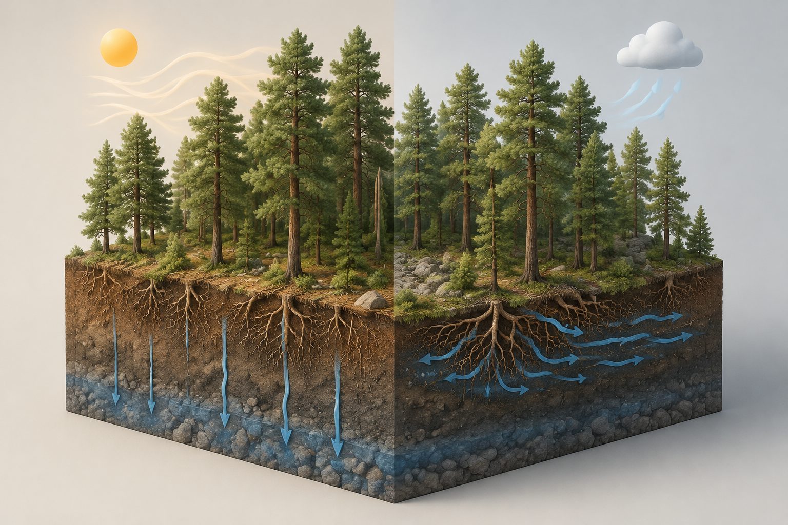
A two-year experiment in a roughly 130-year-old Scots pine forest separated dry air from reduced soil water. Lowering the air’s drying power changed the course of soil moisture, especially deeper in the ground, even when water inputs were identical.
A study of marine sponge larvae found that fading light at sunset changes the way their DNA is packaged before they settle. This preparation appears to help the larvae rapidly activate genes for metamorphosis when they encounter a coralline alga.
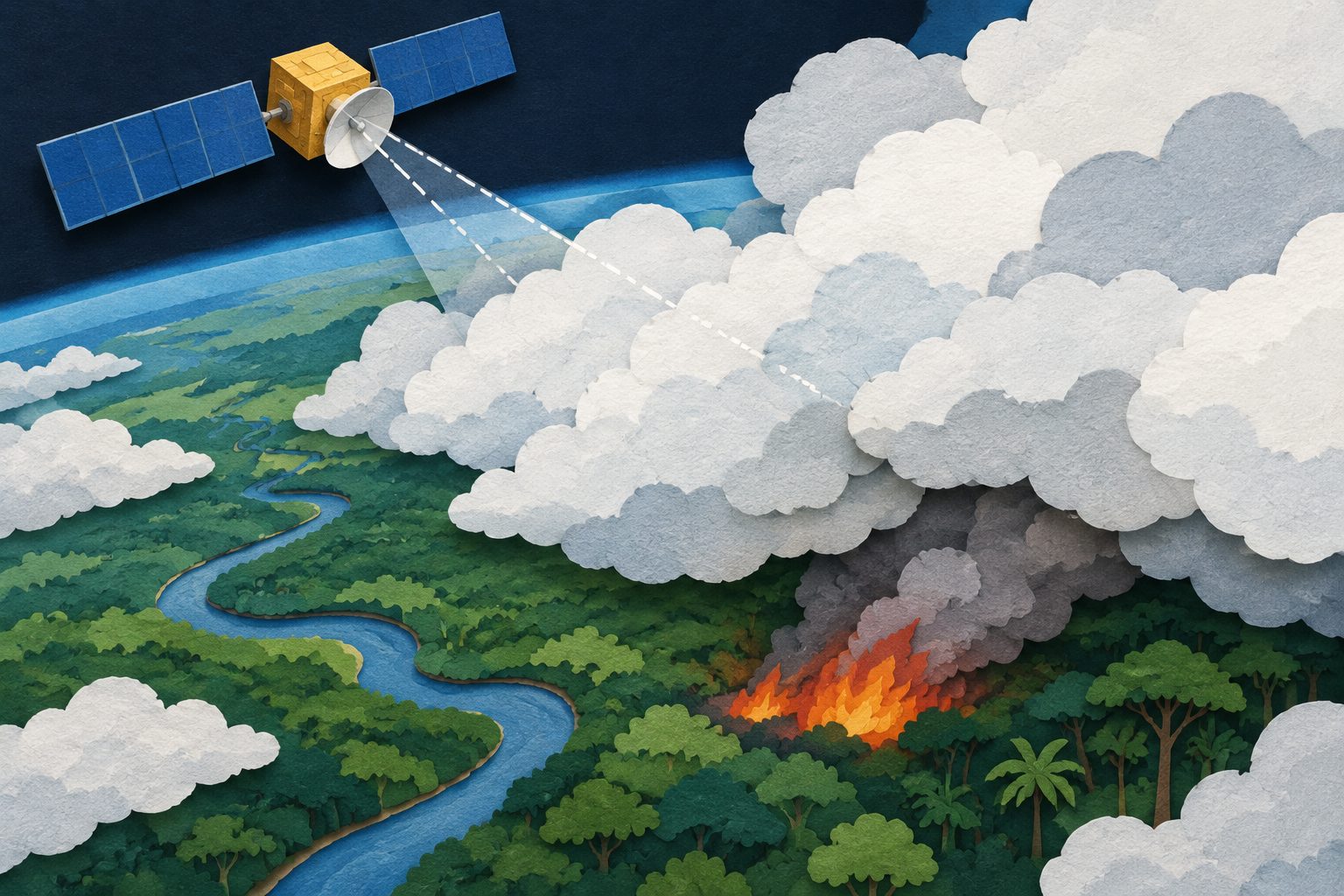
Fire-detecting satellites do not see every powerful fire equally well. Global estimates in the study put the average detection probability at 78% for MODIS and 88% for VIIRS, but below 30% for MODIS in some equatorial regions.