Satellites can miss powerful fires in some cloudy equatorial regions
A study finds that fire-detection chances vary sharply with satellite, viewing conditions, pixel size and cloud cover.
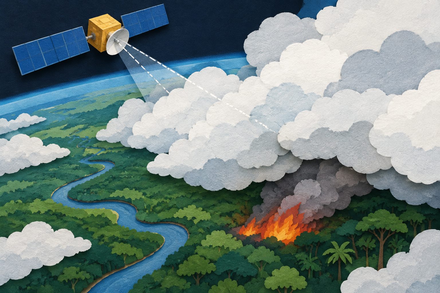
Editorial illustration — not from the study.
Researchers analyzed Fire Radiative Power data from the MODIS and VIIRS satellite instruments and developed mathematical tools to estimate when fires are likely to be detected. The tools account for factors including pixel area, viewing conditions, cloud cover and satellite overpass timing.
For the smallest pixels, MODIS had detection limits of 3.7 megawatts at night and 5.7 megawatts during the day under the conditions studied. VIIRS reliably detected nighttime fires as small as 0.5 megawatts. Applying the tools to the two datasets produced close agreement after accounting for their different overpass times.
How often fires were detected
The researchers estimated that MODIS detects fires with a radiative power of at least 3.7 megawatts during a clear-sky nighttime observation directly below the satellite. During a daytime observation from the side of the satellite’s viewing path, its detection limit can rise to 40 megawatts. For the smallest pixels near the middle of the viewing swath, the reported MODIS limits were 3.7 megawatts at night and 5.7 megawatts during the day.
VIIRS reliably detected nighttime fires as small as 0.5 megawatts. The researchers represented the detection limit as a linear function of pixel area, with different relationships for the two instruments and for day and night.
Using satellite overpass and weather information, they estimated the global average probability of detecting powerful fires at 78% for MODIS and 88% for VIIRS. Regional differences were substantial: in some equatorial areas, the estimated probability fell below 30% for MODIS and 40% for VIIRS.
In a comparison of 2020 data from more than 40,000 MODIS granules containing fires detected by at least one instrument, VIIRS initially reported about 30% more total Fire Radiative Power than MODIS. After applying the researchers’ adjustments for detection limits and visibility, the datasets matched closely once the satellites’ different overpass times were taken into account.
Why the gaps matter
Fire Radiative Power measurements are used to describe the intensity of active fires. The results show that totals from different satellite products can differ because the instruments have different detection limits and because clouds, smoke, viewing angle and pixel size affect what each satellite records.
The observation tools developed in the study provide a way to adjust for these differences when comparing MODIS and VIIRS measurements or representing fire activity on a grid. The regional probability maps also identify areas where satellite-based fire measurements are more likely to miss even powerful fires, especially where cloud cover is dense.
Evidence and caveats
This is an analysis of MODIS and VIIRS satellite products using analytical observation operators—mathematical descriptions of how fire signals are detected at the pixel and grid levels. The researchers tested the pixel-level approach on a full year of 2020 data and used satellite overpass and weather information to estimate global and regional detection probabilities.
The detection limits depend on pixel area and differ between day and night and between the two instruments. At the grid level, the results also depend on how much of the total fire power comes from the largest fire pixel and on cloud cover. Thin clouds and smoke can reduce the measured fire power, while different satellite overpass times affect comparisons. The reported probabilities are therefore estimates for the observation conditions represented in the satellite and weather data, rather than a single detection rate for every fire.
// Source
Geoscientific model development · 2026 · DOI: 10.5194/gmd-19-10123-2026
A study of marine sponge larvae found that fading light at sunset changes the way their DNA is packaged before they settle. This preparation appears to help the larvae rapidly activate genes for metamorphosis when they encounter a coralline alga.
A systematic review of 65 studies finds that roads in Southeast Asian and Pacific tropical forests are associated with forest loss extending kilometres from the road, while ecological effects reach tens to hundreds of metres. The review found no studies measuring human health outcomes and limited evidence for whether mitigation works.
A new assessment using longer and improved satellite records finds that tropospheric ozone has declined since 2005 across about 70% of the globe. The overall trend masks strong year-to-year changes linked to wildfires, climate patterns and the COVID-19 pandemic.