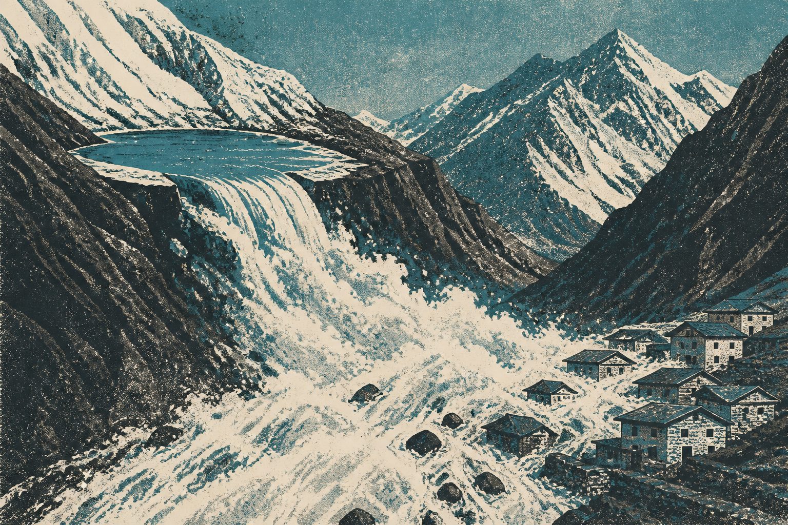
A chain reaction between two changing lakes sent a powerful flood through the Everest region village in August 2024.
The study used satellite images, field observations, climate data, empirical estimates and computer modelling to examine the flood. The upper lake, which formed in the late 2000s, had expanded to 0.11 square kilometres before it burst; the lower lake had grown by 20% between 1989 and 2024.
The upper lake’s overflow breached the lower lake’s moraine dam, producing a combined release of approximately 6 (±0.65) × 10⁵ cubic metres. Modelling of two possible flood scenarios indicated an initial peak discharge of more than 800 cubic metres per second, with effects extending over 50 kilometres downstream.
How the lakes failed
The researchers identify the 16 August 2024 flood as a cascading glacial lake outburst flood. Intense glacier melt and ice calving, linked to extreme temperatures and precipitation, pushed the upper lake past a hydrological tipping point. Its overflow then triggered the failure of the lower lake’s moraine dam.
The combined water release was estimated at approximately 6 (±0.65) × 10⁵ cubic metres. Two modelled scenarios produced an initial peak discharge exceeding 800 cubic metres per second and showed the flood wave reaching Thame Village within 22 to 32 minutes. Losses within Khumbu Pasang Lhamu Rural Municipality were estimated at 6.18 million US dollars, and flood effects were traced more than 50 kilometres downstream.
Why small lakes matter
The event shows that a lake does not need to be large to create a severe flood if it is changing quickly and connected to another lake. Because an upstream outburst can trigger a second lake’s failure, risk assessments that examine lakes separately may miss this kind of chain reaction.
The researchers argue that GLOF planning should include small, rapidly evolving lakes and should focus on reducing people’s exposure and vulnerability in high-mountain communities, rather than relying only on engineering controls at the lakes.
Evidence and caveats
The analysis combines multi-source satellite imagery, field data, climatic data, empirical estimates and numerical modelling. The flood reconstruction is based on two possible modelled scenarios rather than a single directly observed sequence, and the estimated water volume includes an uncertainty of ±0.65 × 10⁵ cubic metres. The abstract does not provide further details about the model assumptions, the full extent of the field measurements or how well the scenarios match independent observations.
// Source
Natural hazards and earth system sciences · 2026 · DOI: 10.5194/nhess-26-4131-2026
Authors: Nitesh Khadka, Vishnu Prasad Pandey, C.Scott Watson, Guoxiong Zheng, Tianpei Wu, Keshab Sharma, Lauren D. Rawlins, Simon Allen, Manish Raj Gouli, Dibas Shrestha
Institutions: University of Chinese Academy of Sciences, Institute of Engineering, Lanzhou University, University of Leeds, University of Zurich, Tribhuvan University, Northwest Institute of Eco-Environment and Resources, Institute of Mountain Hazards and Environment, Pulchowk Campus, Stimson Center, BGC Engineering (Canada)