Lunar images link small volcanic features to impact scars and fractures
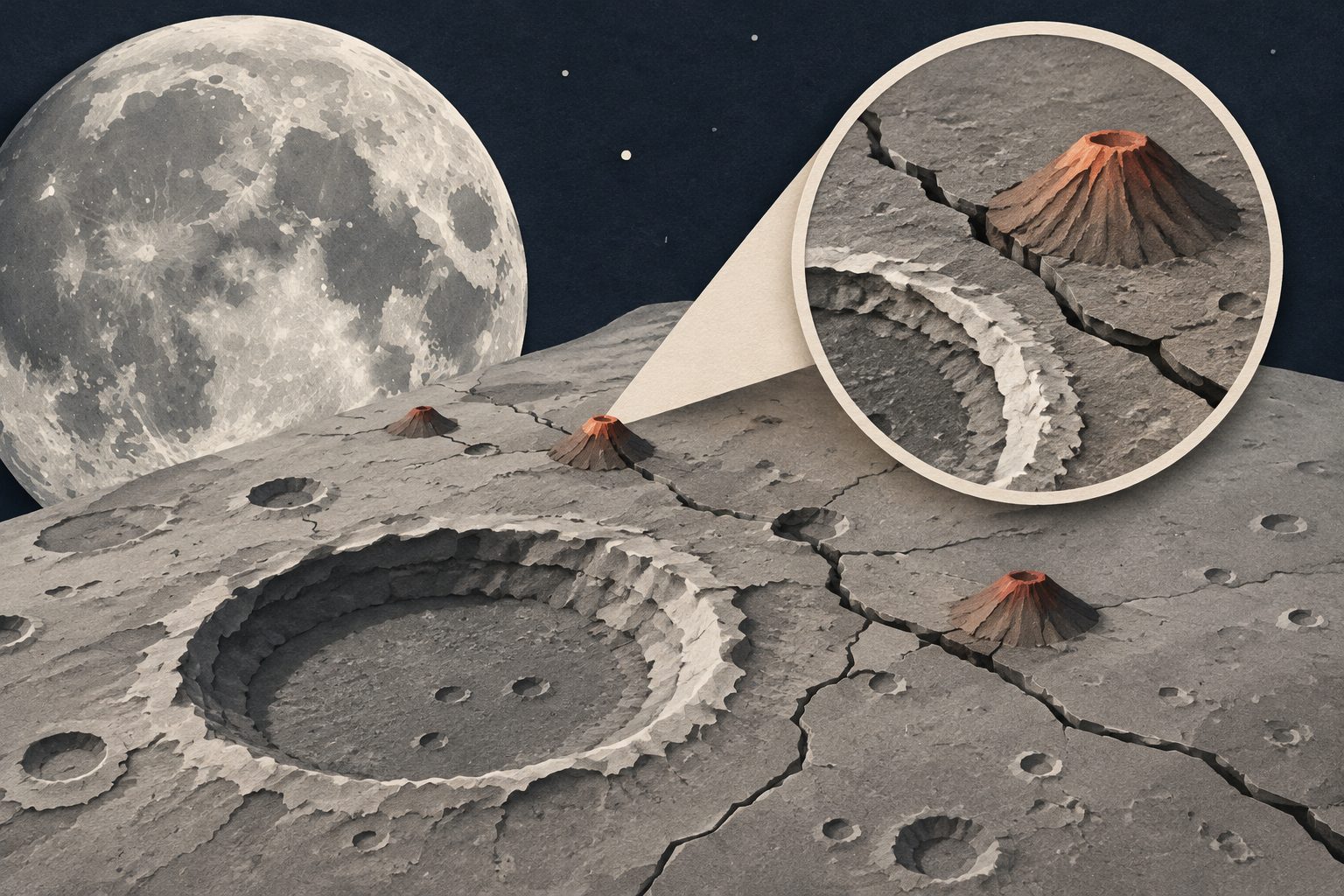
Images taken during a Jupiter-bound spacecraft’s Moon flyby show small, low-titanium volcanic or partly underground features near two lunar seas.
Editorial illustration — not from the study.
During a 2024 Earth-Moon flyby, JUICE’s JANUS camera imaged a continuous strip of the Moon at resolutions of about 20 metres per pixel. Researchers examined Langrenus crater and the highland region between Mare Fecunditatis and Mare Tranquillitatis, combining surface-shape mapping with measurements of reflected light.
Langrenus contains more mare-like mafic material than nearby highlands and ejecta-covered areas. In the highland “isthmus,” the researchers identified dome-like volcanic or subvolcanic features with different levels of preservation and surface maturity. Their distribution is consistent with small-volume magma reaching or approaching the surface along impact-related and regional fractures.
What the lunar images show
Langrenus is a structurally complex impact crater at the boundary between lunar mare and highland terrain. Its interior has a stronger mafic contribution than adjacent highlands and ejecta-dominated areas. Spectral mixing analysis found mafic components throughout the interior, with smaller, spatially coherent signals compatible with olivine in the northern hummocky floor and parts of the rim.
The researchers say these signals could result from the impact excavating varied rocks, or from mare-derived material being redistributed by landslides and mixed into the soil after the crater formed. The highland “isthmus” contains distinct generations of dome-like volcanic or subvolcanic constructs. Their differences in preservation, surface maturity and subtle mafic enrichment are consistent with a localized, low-titanium magmatic system made up of small-volume deposits whose locations were influenced by impact-generated and regional fractures.
Why the features matter
The findings add detail to how impacts, fractures and small amounts of magma have shaped the Moon beyond its broad mare plains. They also show that high-resolution multispectral images from a spacecraft visiting the Moon can be used to study both crater geology and less extensive volcanic features.
The flyby served as an end-to-end operational test of the JANUS camera. The study reports that the instrument performed successfully in space, supporting its planned use for high-resolution observations of Jupiter’s Galilean moons.
Evidence and limits
The study is based on morphological mapping and spectrophotometric analysis of JANUS images collected during JUICE’s August 2024 Lunar-Earth Gravity Assist. The images reached spatial resolutions of approximately 20 metres per pixel, and spectral unmixing was used to assess surface components.
The abstract describes the multispectral sampling as limited. The optical maturity of the lunar soil also prevents definitive identification of the minerals responsible for the observed signals, including the olivine-compatible signatures. As a result, the proposed sources of the mafic material and the relationship between the volcanic features and fractures remain interpretations consistent with the observations, rather than uniquely established explanations.
A study of the PARADeS flood-risk project in Ghana argues that effective flood planning needs more than technical analysis. It finds that working with communities and other stakeholders through shared research, trust-building and long-term institutional support can produce knowledge that is more socially grounded and actionable.
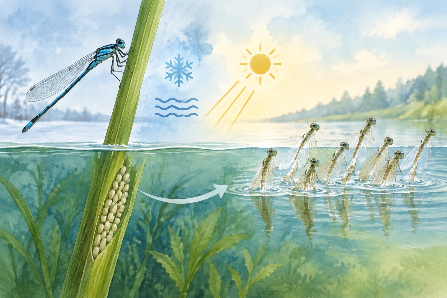
Damselfly eggs from different latitudes responded to winter cold and day length in ways that helped time hatching for spring. The eggs could hatch at 5 °C, and newly hatched larvae survived two weeks near 0 °C, suggesting that warmer winters could allow some hatching during winter.
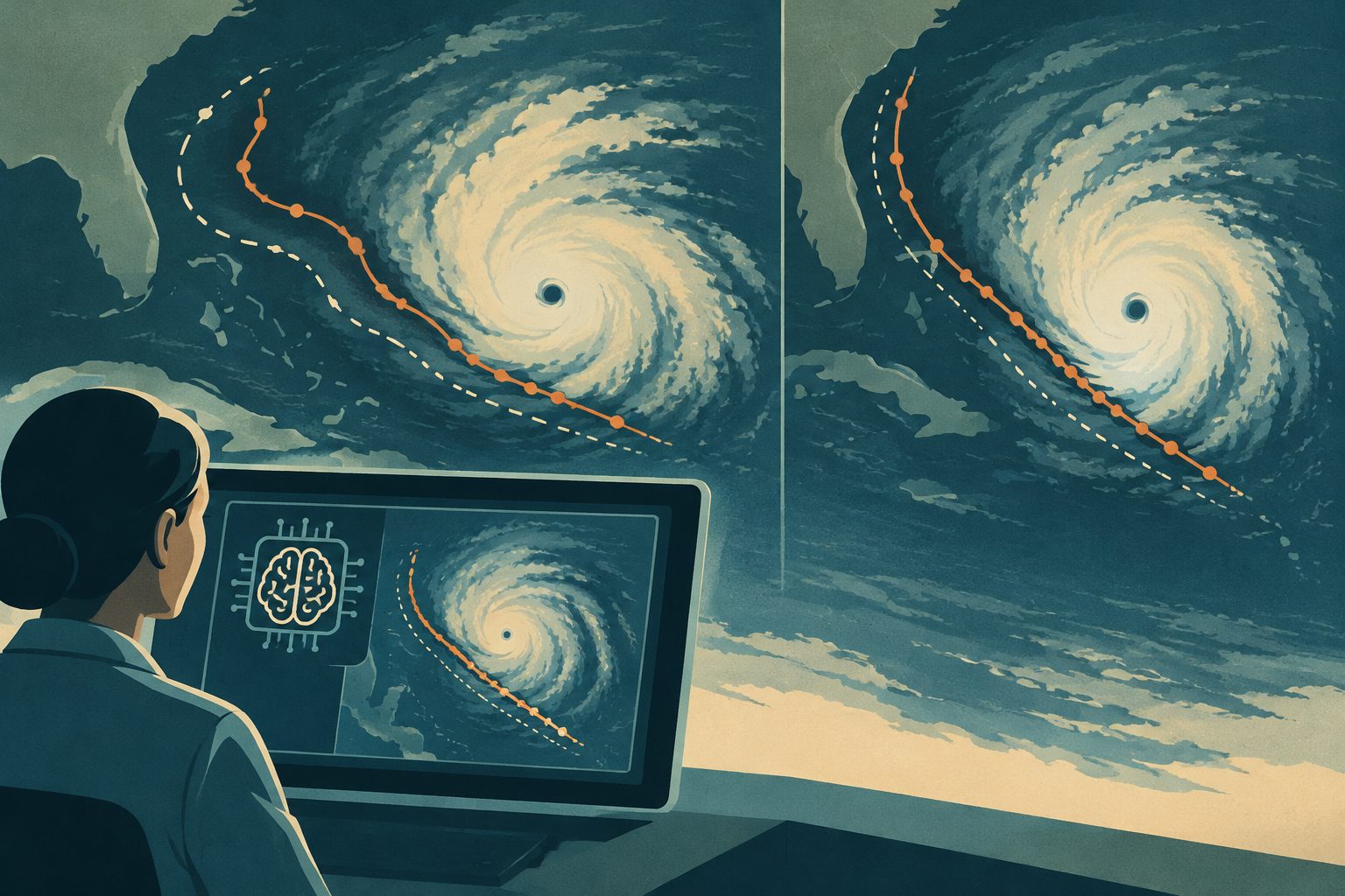
A new ensemble forecasting system improved large-scale weather predictions and tropical cyclone track forecasts by combining an AI model with a physics-based weather model. The hybrid forecasts did not degrade predicted storm intensity or the spread used to represent uncertainty.