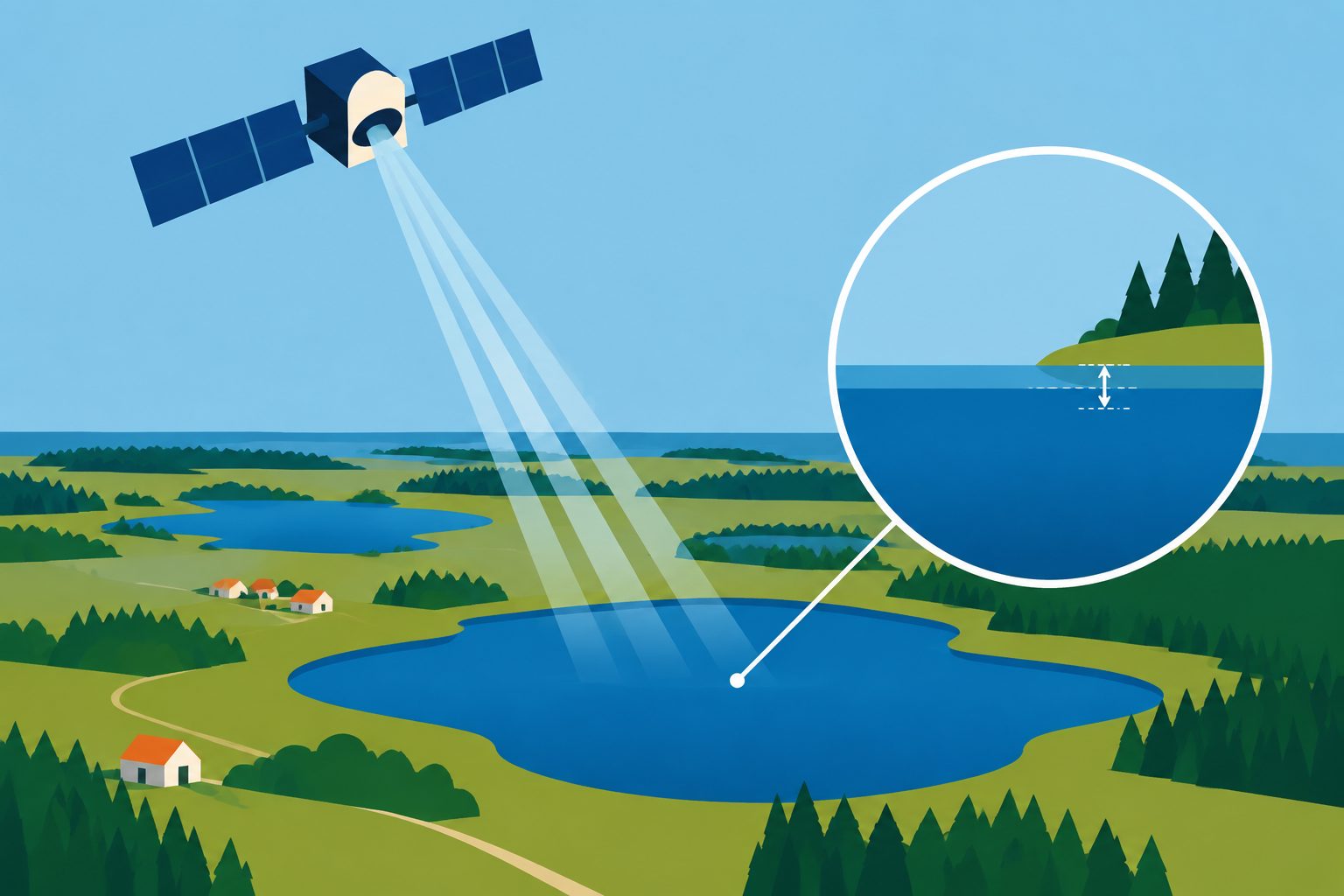
In 37 lakes, the satellite produced more usable water-level readings than an earlier processing method.
Researchers evaluated SWOT’s high-resolution water-surface data for lakes ranging from 0.25 to 40 square kilometers in area. They tested six ways of combining the satellite’s measurements into one water-level value for each lake and observation time.
The resulting time series had a median root mean square error of 5.34 centimeters compared with gauge measurements, and a median correlation of 0.91. The researchers also found indications of residual errors that changed over time, and their approach performed slightly better than an earlier SWOT lake product while providing more valid timestamps.
What the satellite measured
Across the 37 Danish lakes, the median unbiased root mean square error between SWOT measurements and gauge records was 5.34 centimeters. The median Pearson correlation coefficient was 0.91, indicating that the satellite generally tracked changes in water level well.
The researchers’ method performed slightly better than the earlier SWOT L2 HR LakeSP data from Hydrocron. The earlier data had a median error of 6.05 centimeters and a median correlation of 0.89. The new approach retained roughly twice as many valid timestamps during the period when both products were available. The study also found indications that the satellite data included residual roll errors that varied over time across the lakes.
Why more readings matter
SWOT is designed to measure water-surface elevations across inland waters, including lakes that are too small or numerous to monitor easily with ground instruments alone. Showing median errors of about five centimeters in these Danish lakes, while providing more usable observation times, suggests that the data can support more complete lake water-level time series.
Such measurements are relevant as demand for freshwater increases and climate change affects water resources. The study also identifies a remaining source of error that will matter when interpreting satellite-based records.
Evidence and caveats
This was an evaluation of satellite measurements against gauge records in 37 lakes in Denmark, with surface areas from 0.25 to 40 square kilometers. The researchers compared water-level accuracy and correlation after testing six data-selection criteria, and they compared the results with an earlier SWOT lake product over their overlapping period.
The findings are based on Danish lakes and may not represent all lake types or regions. The study found indications of time-varying residual roll errors in the satellite data, so the measurements still require attention to these errors. The abstract does not specify how long the evaluation period lasted or provide results for lakes smaller than 0.25 square kilometers.
// Source
Hydrology and earth system sciences · 2026 · DOI: 10.5194/hess-30-6443-2026
Authors: Simon Jakob Köhn, Karina Nielsen
Institutions: DTU Space