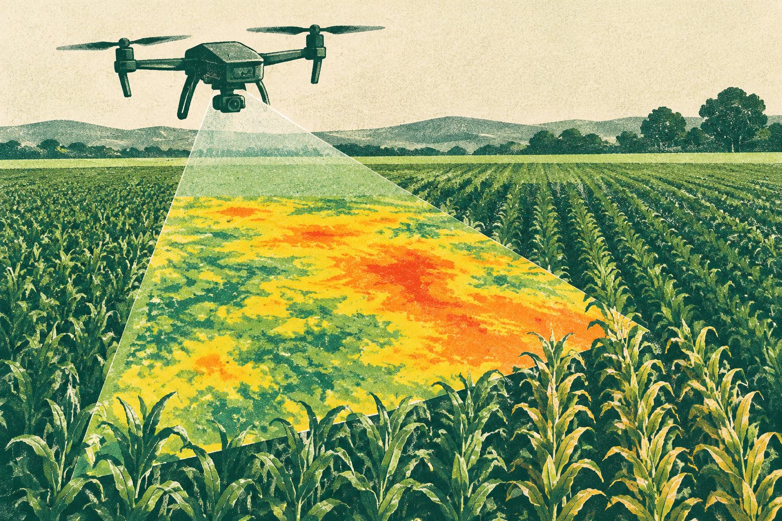
Drone maps spotted crop water stress before other plant measures changed
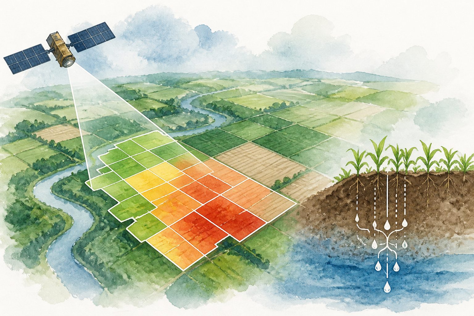
High-resolution drone maps detected early crop water stress before changes appeared in other plant measurements. The approach tracked evapotranspiration—the movement of water from soil and plants into the air—across sugar beet, potato and winter wheat fields.
·2 views