Environmental Science · Ecology

Remote Sensing in Agriculture

Log in to follow
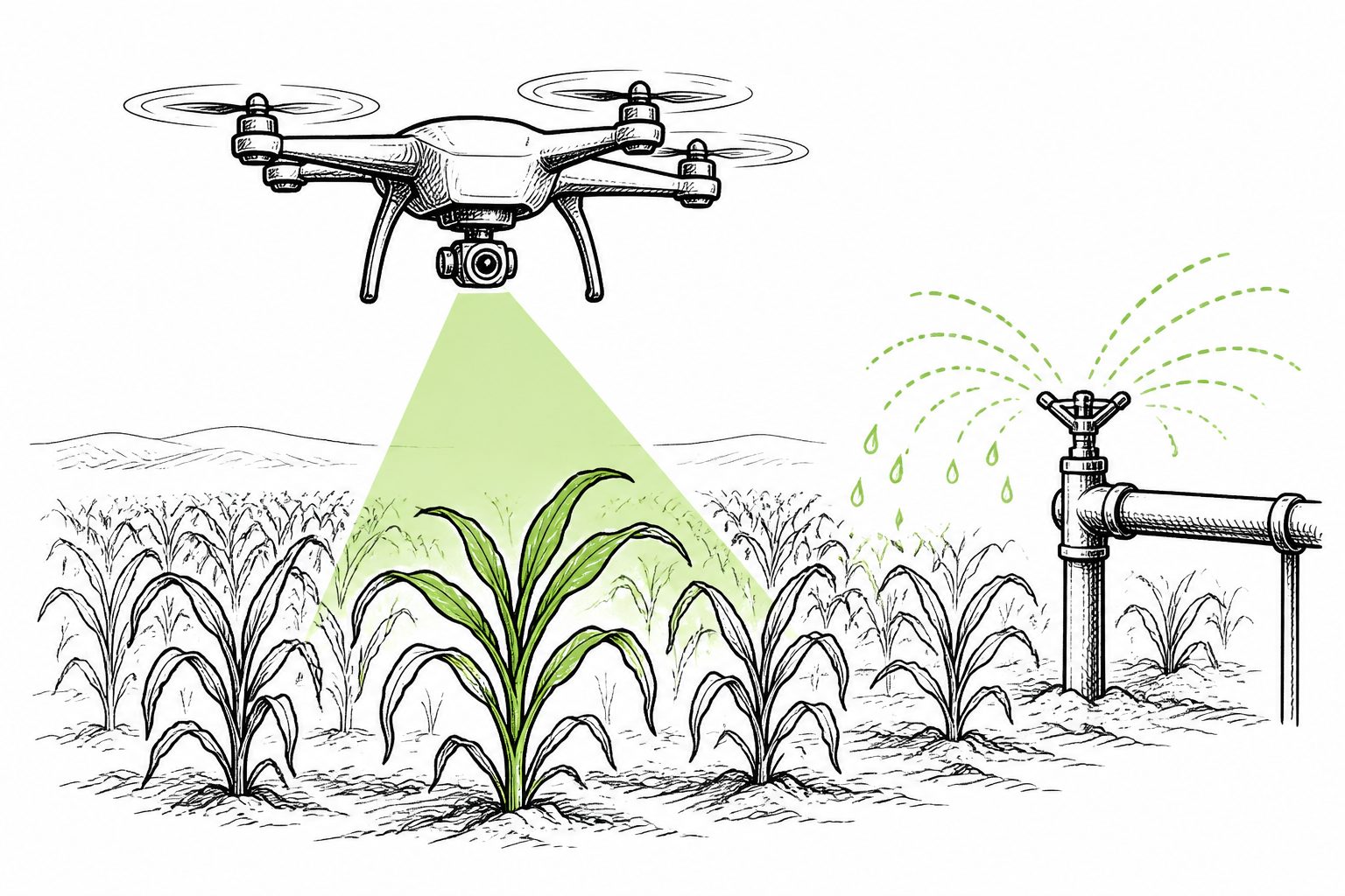
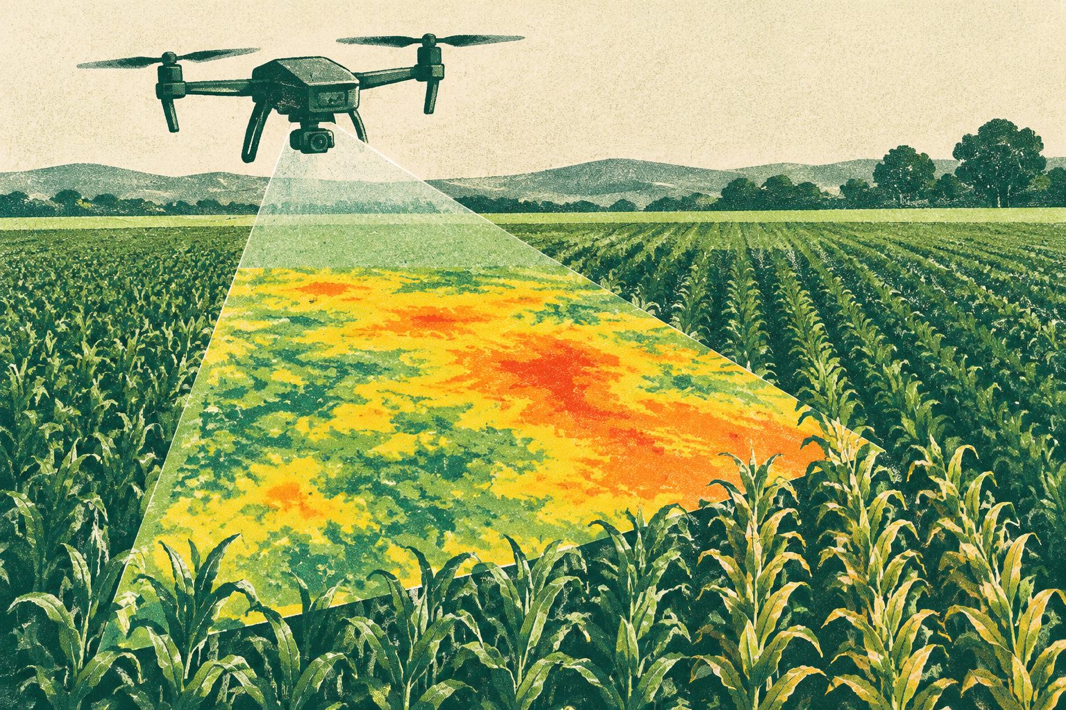
Abstract editorial illustration accompanying the article: Drones and AI predicted crop stress early and adjusted irrigation

Drones and AI predicted crop stress early and adjusted irrigation

A drone-based system combined images, soil readings and weather data to predict how crop stress might develop. In experiments, its irrigation decisions reduced predicted yield vulnerability by 46.6 and increased water-use efficiency by 41.1 compared with rule-based strategies.

·43 views
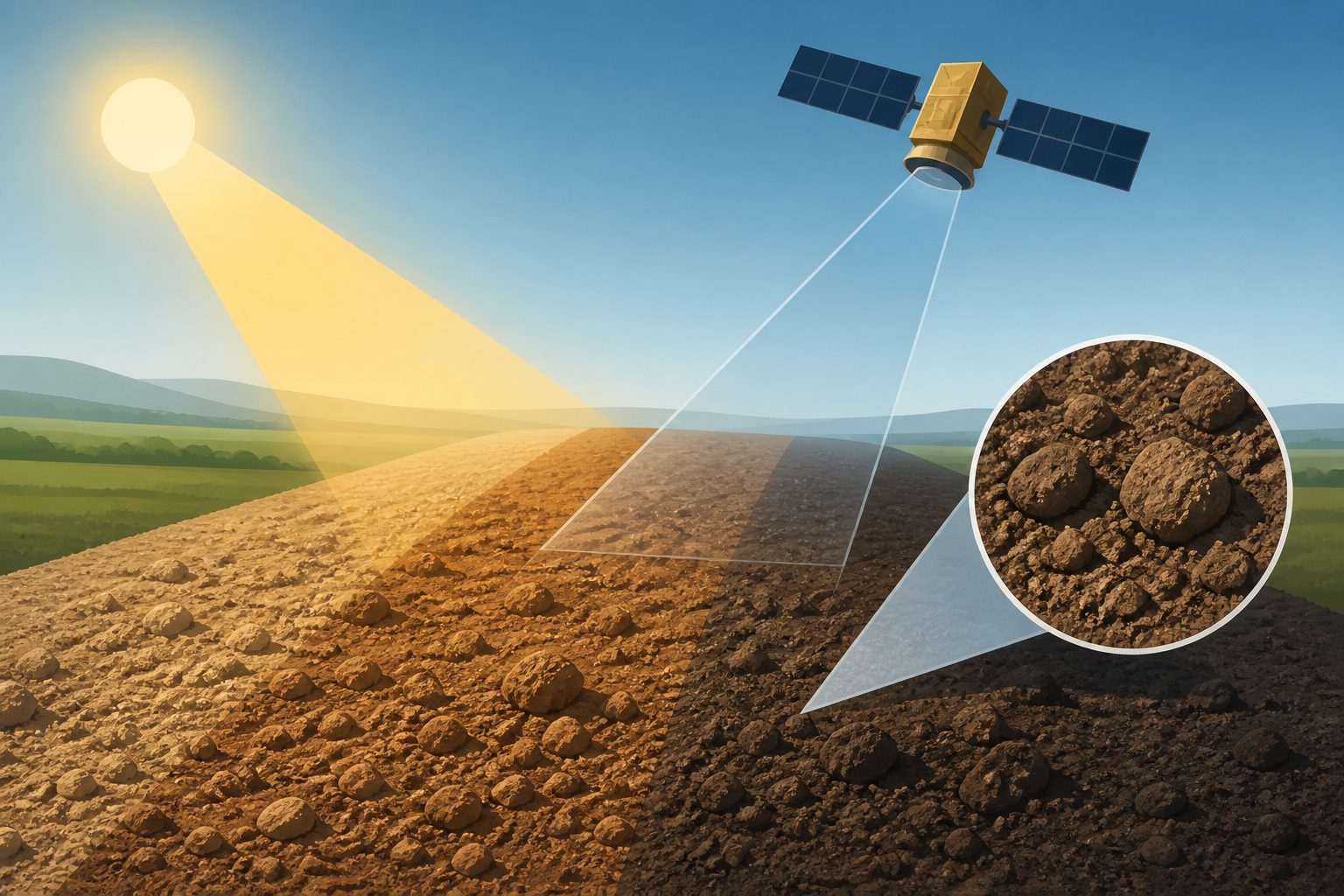
Abstract editorial illustration accompanying the article: Sun angle and rough soil, not wetness, drive changing satellite soil colors

Sun angle and rough soil, not wetness, drive changing satellite soil colors

Satellite images often average bare-soil data over long periods, but the colors can change even under similar conditions. Using seven years of Landsat 8 and Sentinel-2 reflectance data from more than 27,000 European sites, researchers found that changes in solar angle interacting with rough bare soil explain most of the temporal variation, while surface moisture contributes less.

·47 views