Warm years shrink the Gulf of California’s productive waters
A 22-year satellite record shows lower productivity during a prolonged warm period and a wider area of low-productivity water.
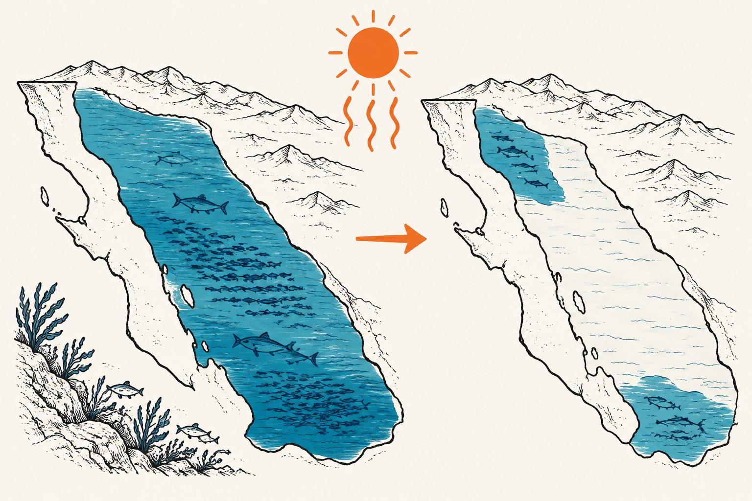
Editorial illustration — not from the study.
Researchers analyzed 22 years of satellite-derived measurements of net primary productivity, the rate at which organisms such as microscopic algae produce organic matter. They divided the gulf into three productivity zones and examined how temperature, water-column mixing, light penetration and phosphate availability related to productivity.
The cold season, from December through May, supplied 68% of annual productivity. High-productivity waters covered about 30% of the gulf but produced 61.4% of its total productivity; low-productivity waters covered about 36% but produced 16.9%. A negative productivity anomaly from 2013 to 2019 coincided with several marine heatwaves and the strong 2015–2016 El Niño, followed by a partial recovery from 2020 to 2024.
Where productivity was concentrated
The study estimated average total net primary productivity at 124 teragrams of carbon per year from 2003 to 2024. Productivity was concentrated in the cold season: December through May accounted for 68% of the annual total, compared with 32% during June through November.
The researchers identified three zones: high productivity, above 1,700 milligrams of carbon per square metre per day; medium productivity, from 900 to 1,700; and low productivity, below 900. The high-productivity zone occupied about 30% of the gulf but contributed 61.4% of total productivity. The low-productivity zone occupied about 36% of the area but contributed only 16.9%.
From 2013 to 2019, total productivity was 9% below the long-term average. The period included multiple marine heatwaves and the strong 2015–2016 El Niño. The researchers observed a partial recovery between 2020 and 2024. Warmer years were associated with a smaller area of high- and medium-productivity waters and a larger area of low-productivity water.
The environmental factors linked with productivity varied by zone. Sea-surface temperature and the depth of the mixed layer were important in the high-productivity zone; temperature and the depth of the sunlit layer were important in the medium zone; and sunlit-layer depth and phosphate availability were important in the low-productivity zone.
Why the pattern matters
The Gulf of California supports approximately 70% of Mexico’s fisheries, so changes in the waters that support the base of the marine food web are relevant to an ecosystem with major economic importance. The study indicates that unusually warm years can reduce the extent of the gulf’s most productive waters and increase the area with low productivity.
The researchers conclude that if regional warming and stronger water-column layering continue, low-productivity conditions are likely to become more widespread. Their results provide a basin-scale baseline for monitoring how climate variability affects marine productivity, although they do not directly measure resulting changes in fish populations or catches.
Evidence and caveats
The analysis used 22 years of satellite-derived net primary productivity data, combined with environmental information, and grouped the gulf into productivity zones using a clustering method validated with discriminant analysis. Statistical modeling was used to examine environmental factors associated with productivity in each zone.
This is an analysis of satellite observations and environmental relationships, not a controlled experiment. The study documents associations between warm periods, environmental conditions and productivity; it does not directly test the effects of future warming. The reported consequences for fisheries and the wider ecosystem are therefore implications of changing productivity, not direct measurements of future fishery outcomes. The record also covers 2003–2024, so longer observations could clarify whether the partial recovery after 2020 continues.
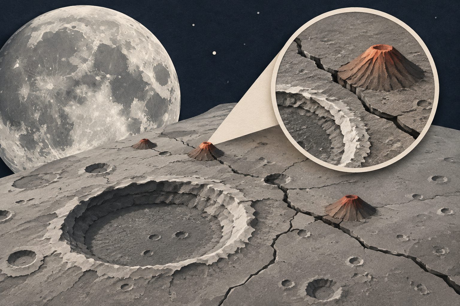
Images from the European Space Agency’s JUICE mission show that small volcanic or subvolcanic features on a lunar highland are distributed in ways consistent with control by impact-generated and regional fractures. The same observations also reveal mafic, or iron- and magnesium-rich, material inside Langrenus crater, although its exact minerals remain uncertain.
A study of the PARADeS flood-risk project in Ghana argues that effective flood planning needs more than technical analysis. It finds that working with communities and other stakeholders through shared research, trust-building and long-term institutional support can produce knowledge that is more socially grounded and actionable.
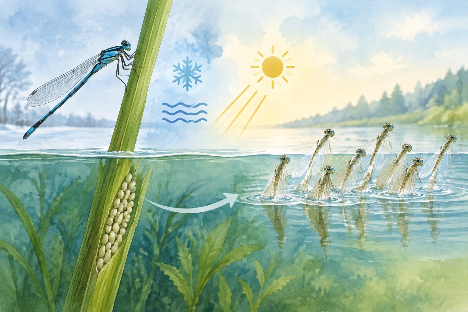
Damselfly eggs from different latitudes responded to winter cold and day length in ways that helped time hatching for spring. The eggs could hatch at 5 °C, and newly hatched larvae survived two weeks near 0 °C, suggesting that warmer winters could allow some hatching during winter.