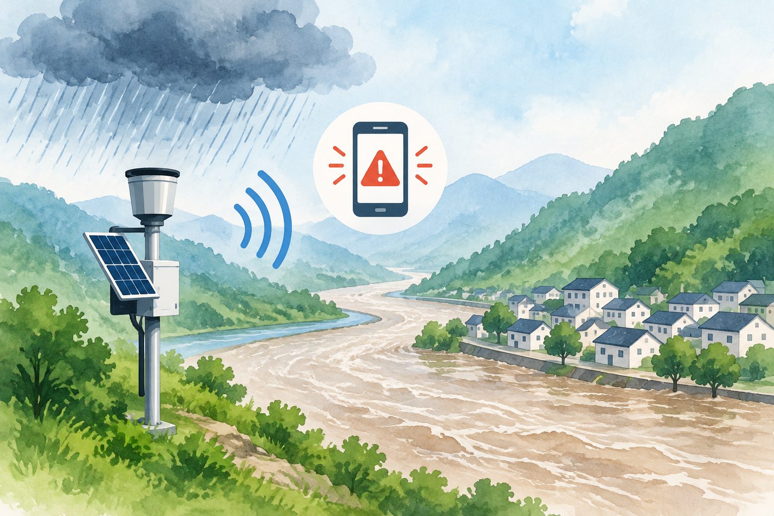
A regional flood model estimated warning-level rainfall at two river-monitoring stations in southern Gansu Province.
Flooding is frequent in the XiHanShui River basin in southern Gansu Province during summer and autumn. Researchers built a basin-specific model using the Hydrologic Engineering Center’s Hydrologic Modeling System, or HEC-HMS, and used it to simulate flood events and estimate rainfall thresholds for warnings.
They calibrated the model with four floods recorded between May and October in 2020 and 2021, then tested it against two additional events. The model produced warning and higher “guaranteed” rainfall thresholds for the Pingluo and Tanjiaba hydrological stations.
The rainfall thresholds
The model estimated warning area-wide rainfall of 108.1 millimeters at Pingluo and 128.5 millimeters at Tanjiaba. The corresponding guaranteed rainfall amounts were 230.8 millimeters and 184.6 millimeters.
Across the calibration and validation events, the average error in peak flow was 7.56%, while the average error in total runoff volume was 14.76%. The modeled peak-flow timing differed from observations by an average of -0.5 hours. The model’s Nash–Sutcliffe efficiency score was 0.769, a measure of how closely simulated flows matched observed flows.
The study also estimated that the basin’s stable infiltration rate was 0.06 to 0.10 millimeters per hour, and that runoff concentration times generally ranged from 22.5 to 24.1 hours.