Models of moderate eruptions at the British Columbia volcano show how far hazardous tephra could spread.
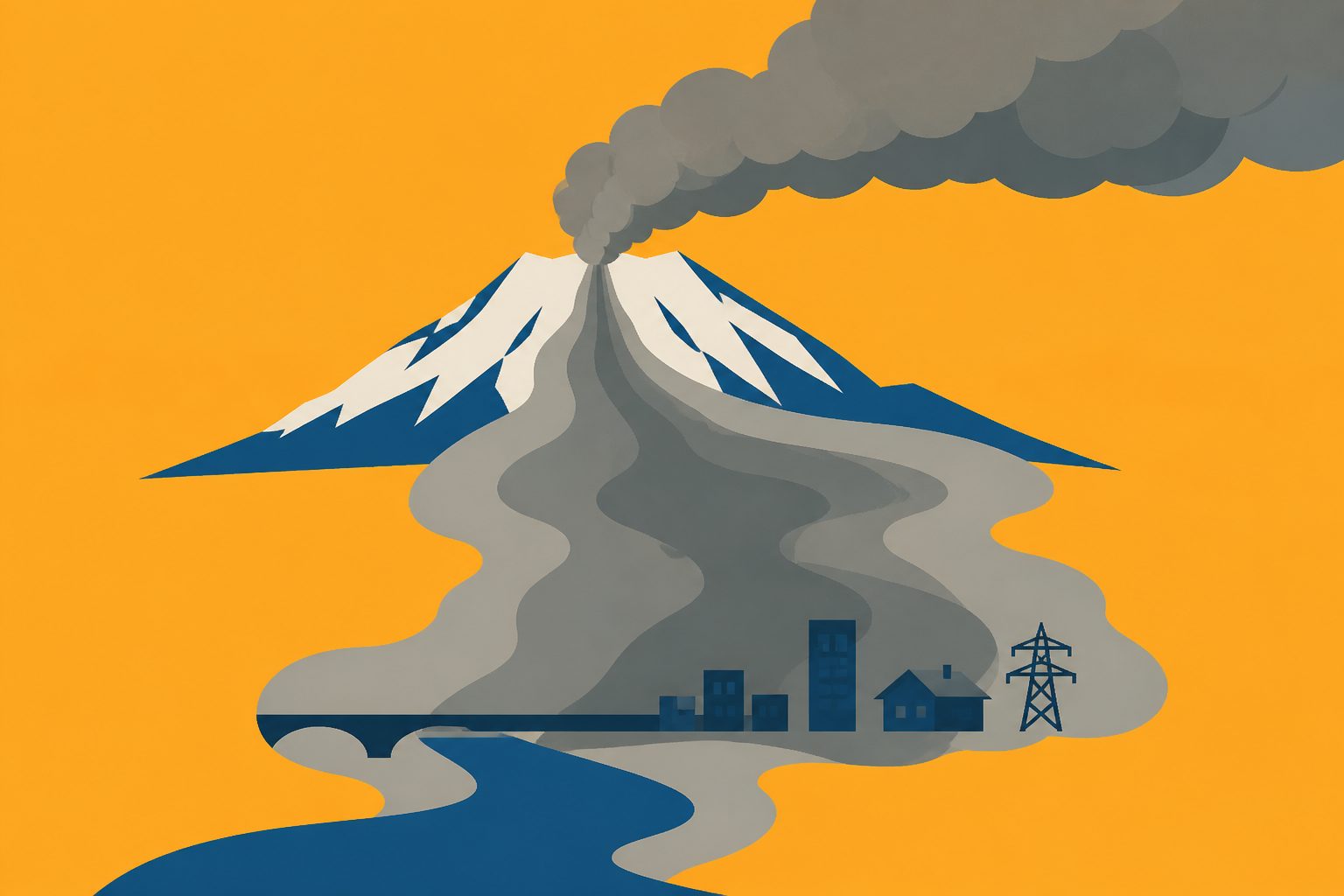
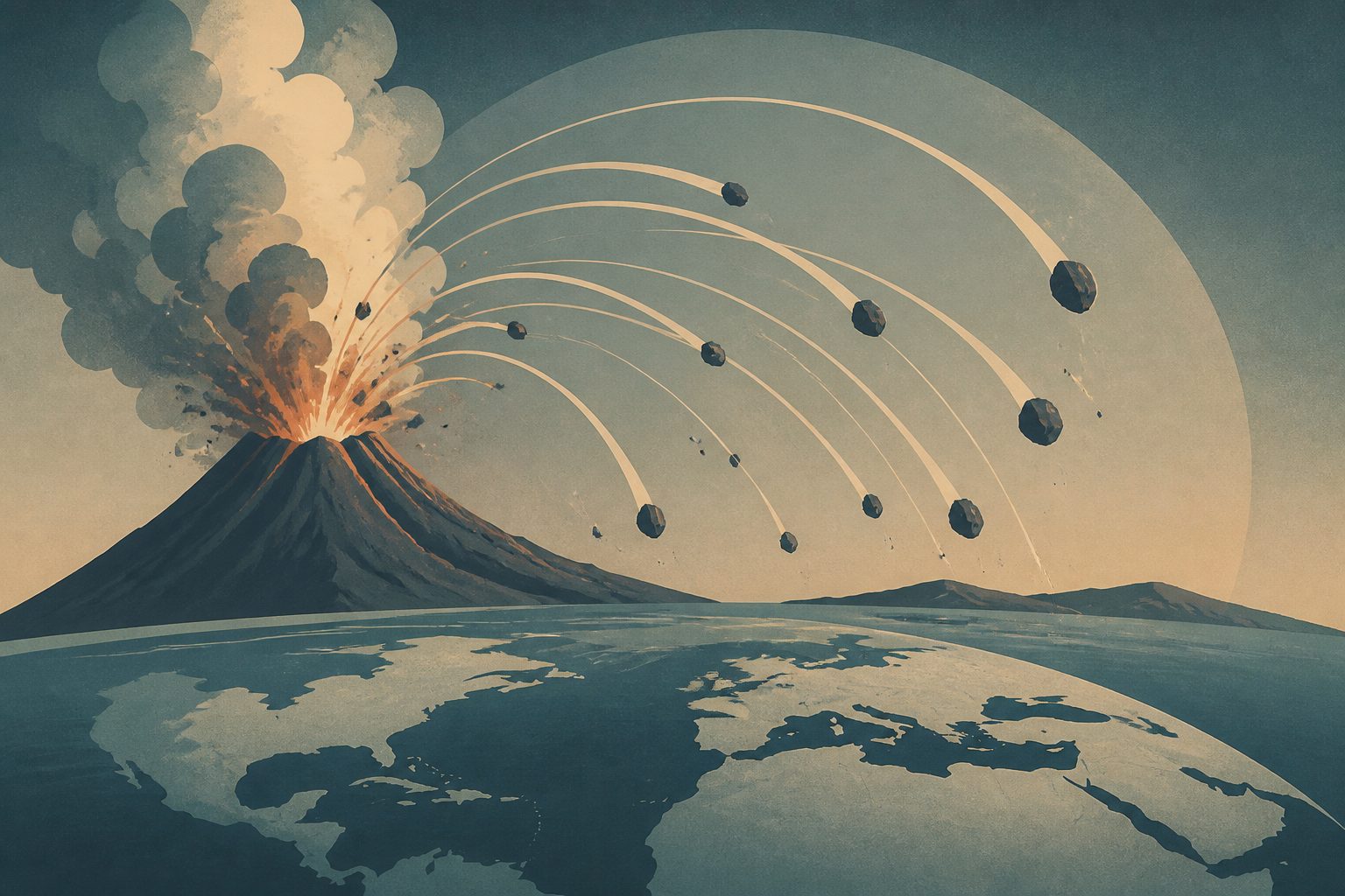
A government-university research team modelled how volcanic fragments and ash, known as tephra, could spread during two possible eruption scenarios at Mt. Garibaldi. The scenarios were based on the volcano’s geological record and used source conditions the researchers describe as well constrained.
For a VEI 3 eruption, tephra loads of at least 0.1 kilograms per square metre could affect 810 square kilometres. For a VEI 4 eruption, the area would increase to 9,360 square kilometres. The study also mapped areas where loads of at least 1 kilogram per square metre could damage infrastructure.
Where tephra could spread
The researchers found that tephra loads of at least 0.1 kilograms per square metre—which can create skid risks on roads and disrupt airports—would extend across 810 square kilometres for the VEI 3 scenario and 9,360 square kilometres for VEI 4, with a 50% probability of exceedance. Loads of at least 1 kilogram per square metre, which may damage infrastructure, would cover 250 square kilometres and 1,670 square kilometres, respectively. The team combined the results into a tephra ground-accumulation hazard map and an information brief.