Large fires fell by about half in Australia’s North Kimberley
A decade of fire mapping found fewer large fires after intensive fuel management began, while remote ignitions still burned much of the landscape.
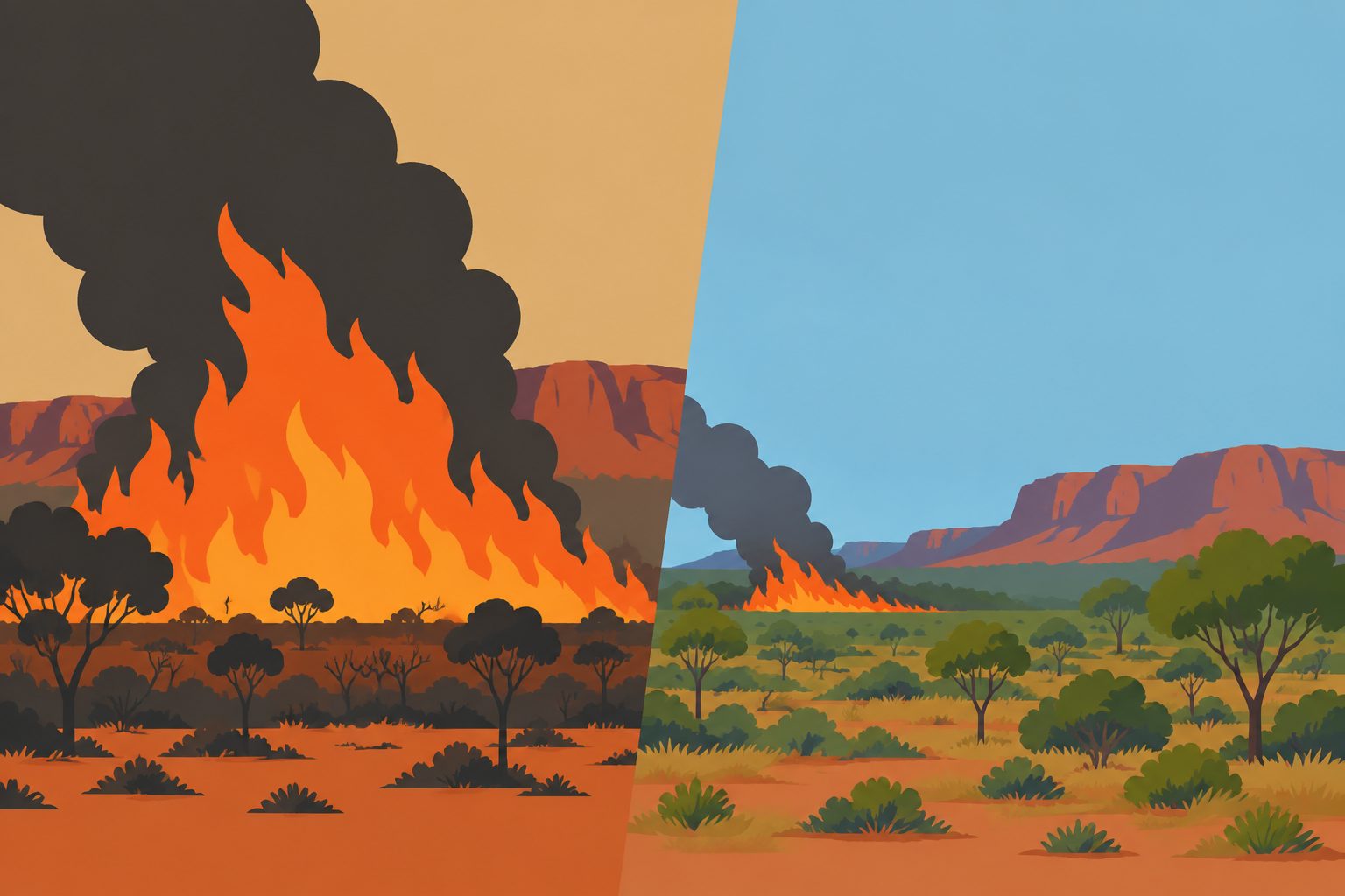
Editorial illustration — not from the study.
Researchers combined detailed maps of burned areas with frequently updated satellite detections of active fires to estimate when different parts of a landscape burned. They applied the approach to the North Kimberley savannas from 2014 to 2023, identifying the 10 largest fires in each year.
Those 100 fires accounted for 33.3% of the area burned each year, and 69% occurred late in the dry season. Only 35% began in places with ground access, pointing to an important role for remote ignitions, which the researchers say are consistent with lightning but cannot be confirmed from location and timing alone.
What the fire maps showed
The researchers developed a fire-event mapping method that links high-resolution burned-area maps with frequent satellite detections of active fires. This allowed them to follow fires that continued across multiple months as single events, rather than dividing them into separate events based on monthly maps.
Applied to 2014–2023 fire records from the North Kimberley, the method identified the 10 largest fires in each year, or 100 fires in total. These fires were responsible for 33.3% of the area burned annually, and 69% took place during the late dry season. Only 35% began in locations with on-ground access. The study also found an approximately 50% decrease in the size of large fires during a period of improved intensive fuel management.
The case study included the largest fire recorded in the study area. It burned 13,548 square kilometres over 37 days in 2016, including an additional 570 square kilometres outside the mapped study region. The researchers reported that mitigation burns helped halt parts of its spread.
Why large fires matter
A small number of large fires accounted for a substantial share of the area burned in this frequently fire-prone landscape. More accurately identifying those fires can help managers assess whether fuel-reduction efforts are associated with changes in fire size and spread.
The findings also indicate that large fires cannot be understood only through fires that begin near roads or other accessible locations. Many began in remote areas late in the dry season, when the researchers say lightning is a likely contributor. The study therefore provides a basis for planning that accounts for both management activities and naturally occurring ignitions.
Evidence and caveats
This was a mapping and analysis study, not a controlled experiment. It examined fire records from one region over 10 years and compared fire patterns during a period when coordinated fire-management initiatives were introduced. The researchers report a roughly 50% decline in large fire sizes alongside improved fuel management, but they note that including data from before the interventions would provide stronger evidence about whether the programs changed fire frequency, size or impact.
The method uses satellite hotspot detections, which can be missed or mislocated because of cloud, smoke, fire size and satellite timing. These problems are expected to affect small, short-lived fires more than large fires, which usually burn longer and produce stronger heat signals. Distance from roads or other access points also cannot prove that a particular fire was started by lightning, although the researchers consider it a useful indicator of remote ignition in this landscape.
// Source
International Journal of Wildland Fire · 2026 · DOI: 10.1071/wf26071
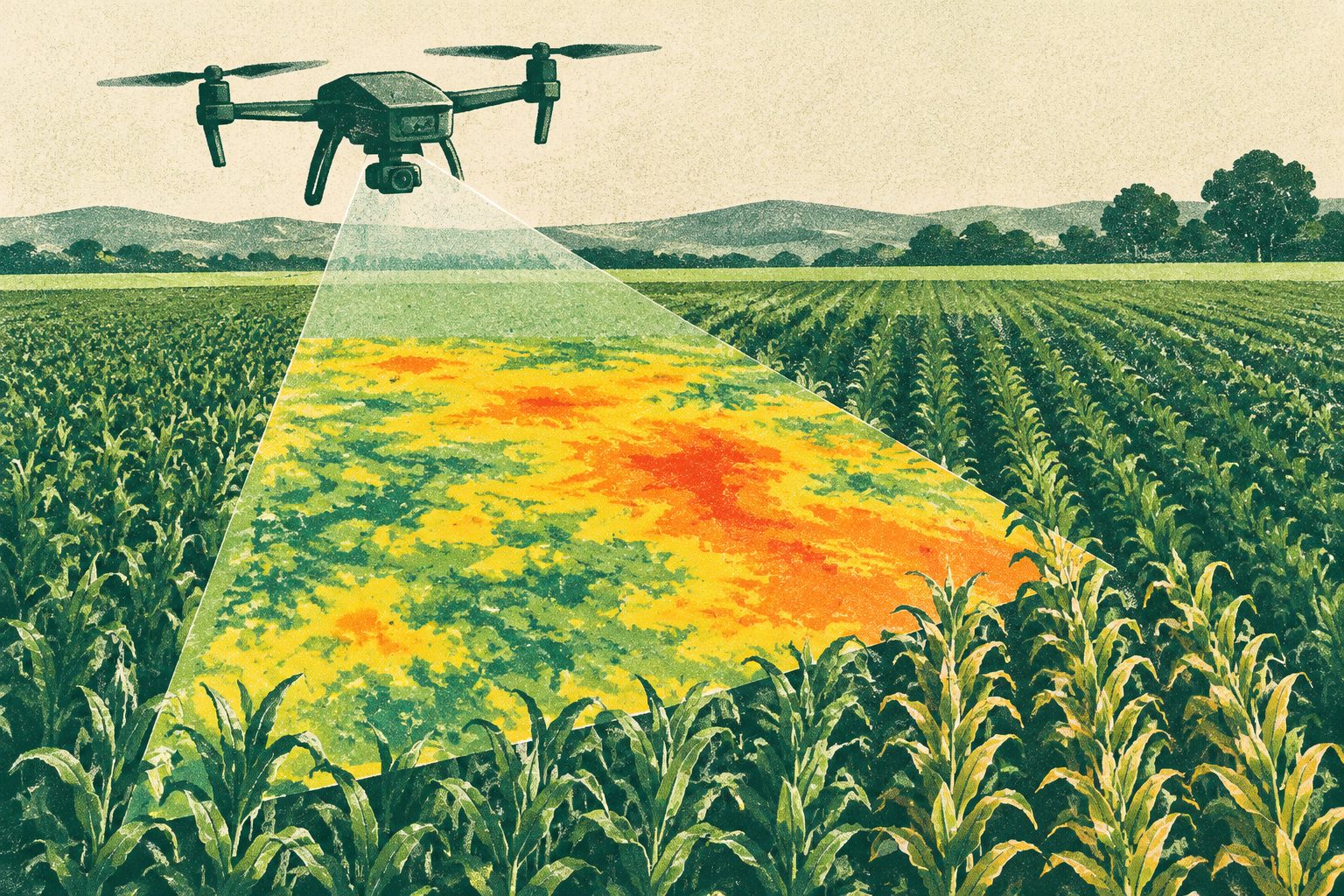
High-resolution drone maps detected early crop water stress before changes appeared in other plant measurements. The approach tracked evapotranspiration—the movement of water from soil and plants into the air—across sugar beet, potato and winter wheat fields.
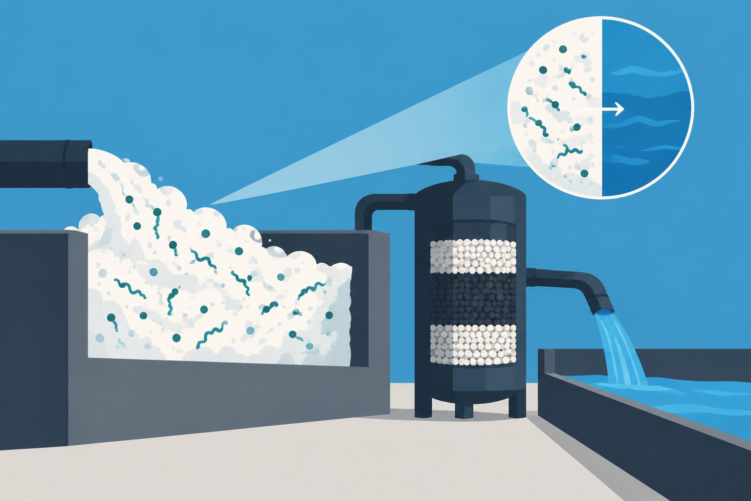
A pilot-scale system removed long-chain PFAS, including PFOS and PFOA, from municipal wastewater and concentrated the compounds in a small volume of foam. Under the best-performing conditions, a subsequent treatment destroyed and removed more than 99% of measured PFAS in that concentrated foam.
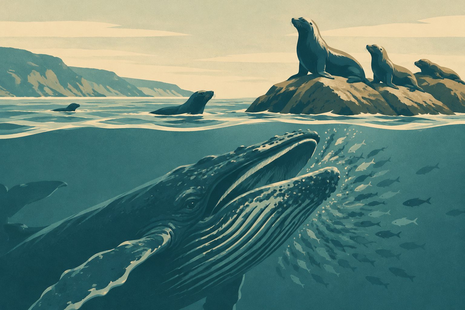
Humpback whales in Monterey Bay fed more frequently when California sea lions were present. The whales appeared to spend less time searching and approaching prey, while the effort and movement of individual lunges showed no detectable increase.