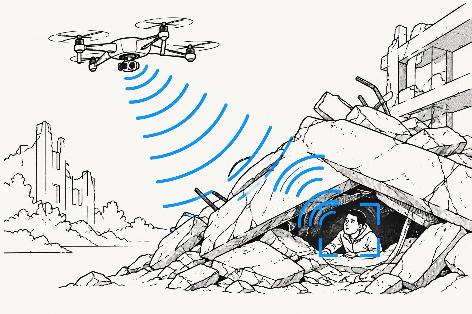
A system that cleans up noisy radio measurements also ranked rescue zones by device numbers, movement and recent trends.
The system has three drones sweep an area along structured paths while recording received signal strength from Wi-Fi devices. It regularizes the measurements, separates likely signal patterns from noise, and combines repeated scans to track devices over time. Devices are then assigned to predefined rescue zones, which receive priority scores based on device counts, movement and changes over time.
In simulations repeated 50 times with different random seeds, the approach outperformed Kalman-filtered trilateration and a version using the same signal-cleaning method without resampling. At 6 dB noise, it reduced the root mean square error by 46.7% and the outlier ratio by 60.0% compared with Kalman filtering. Resampling also reduced processing time by 17% per device-line compared with signal cleaning without resampling.
How the drone system performed
The proposed method combines regularized spatial measurements with a Hankel matrix and singular value decomposition, a mathematical technique used here to separate structured signal from noise. In simulations under low- and high-noise conditions, it produced more accurate coarse device locations and fewer outliers than Kalman-filtered trilateration and signal cleaning without spatial resampling.
At 6 dB noise, the method reduced root mean square error, a measure of position error, by 46.7% and the outlier ratio by 60.0% relative to Kalman filtering. Spatial resampling reduced computational time by 17% per device-line compared with using the signal-cleaning method on irregular measurements. Repeated scans also allowed the system to record device movement and assign devices to rescue zones for priority scoring.
Why the results matter
Smoke, dust and debris can make visual sensing difficult, while radio-signal measurements can be disturbed by noise and reflections. The results suggest that drones could use signals from detectable Wi-Fi devices to produce more useful location estimates and a zone-level picture of where devices are concentrated and whether they are moving.
That information is intended to help rescue command allocate limited resources. The study presents this as a simulated framework for turning repeated radio measurements into location estimates and rescue-zone priorities, rather than as a demonstrated field deployment.
Evidence and caveats
The evidence comes from algorithm simulations, not tests with real survivors or field experiments. Each comparison used three drones, and the experiments were repeated 50 times with different random seeds. The study compared the proposed method with Kalman-filtered trilateration and signal cleaning without resampling.
The simulations assumed ideal communication conditions without interference between drones. The proposed method produces coarse locations of detectable Wi-Fi devices, so it does not establish that every survivor would be located. It also treats device movement as an indicator of vitality, and the rescue priorities depend on predefined zones and chosen weights. The researchers identify field validation with actual drone swarms and adaptive priority weighting as future work.
// Source
Autonomous Intelligent Systems · 2026 · DOI: 10.1007/s43684-026-00142-3
Authors: Zhitong Zhang, Mingliang Xiong, Wen Fang, Qingwei Jiang, Siyuan Du, Tianyi Lv
Institutions: Tongji University