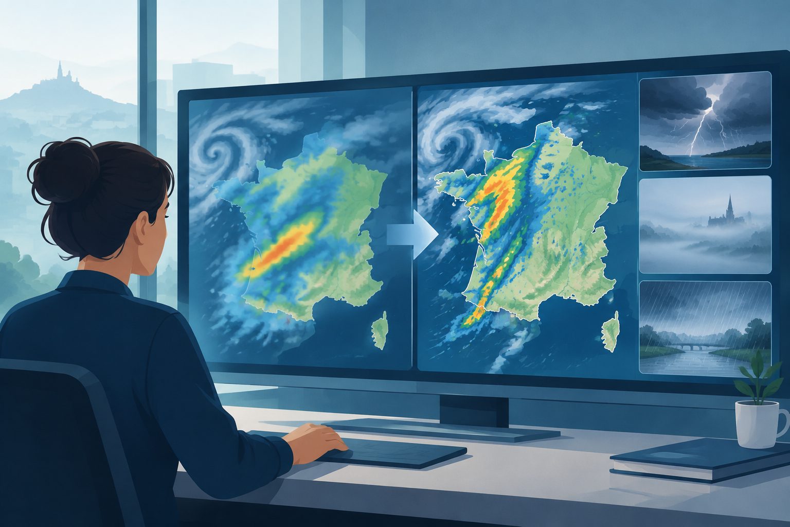
A new system used by Météo-France since October 2024 outperformed the previous method in tests of severe-weather forecasts.
The study evaluates the 3DEnVar data-assimilation system now used in AROME-France, Météo-France’s model for high-resolution, storm-scale forecasting. Data assimilation combines observations with a previous forecast to create the model’s starting state; 3DEnVar also uses an ensemble of forecasts to represent how errors vary with the weather situation.
Researchers tested settings for how information should spread across horizontal and vertical distances, how much weight to give forecast uncertainty, and whether to use Incremental Analysis Updates to reduce early forecast adjustment, known as spin-up. The selected configuration, including a version with these updates, was assessed over a long period and during winter storms, fog and heavy-precipitation events.
How the new forecasts scored
The tested 3DEnVar configurations largely outperformed the operational 3D-Var system across the study’s forecast scores. The new method performed better for all tropospheric parameters at numerous forecast ranges in comparisons with analyses, weather balloons and surface stations.
One reported example was relative humidity at 850 hPa: the 3DEnVar system reduced root-mean-square error by 8.7% at 12 hours, 4.1% at 24 hours and 2.5% at 36 hours when compared with IFS analysis. The corresponding improvements against radiosonde measurements were 7.4%, 3.7% and 1.5%.
The strongest effect among the tested settings came from the horizontal distance over which observations influenced the analysis. The selected distance increased with height, from 25 kilometres near the lowest model level to 150 kilometres at the highest. A version using Incremental Analysis Updates was chosen for the new operational system to help reduce spin-up, which was greater in 3DEnVar experiments than in the previous 3D-Var system.
Why the operational change matters
AROME-France has used the 3DEnVar system operationally since October 2024, replacing the 3D-Var method used for the previous 15 years. The evaluation indicates that the change improves forecast scores for conditions associated with high-impact weather, including storms, fog and heavy precipitation.
The new system also uses weather-dependent error information from an ensemble of forecasts rather than relying only on fixed, climatological error statistics. This configuration was developed within operational limits on numerical stability and execution time, so the results assess a system designed for routine forecasting rather than only an experimental setup.
Evidence and caveats
The evidence comes from sensitivity experiments and forecast evaluations using aircraft temperature and wind observations, radar reflectivity, precipitation observations combining radar and rain gauges, analyses, radiosondes and surface stations. The precipitation assessment compared 24-hour model totals with the ANTILOPE observation product, and the experiments included different severe-weather situations as well as a longer evaluation period.
The parameter tests were run from 13 September to 15 October 2021, and the researchers note that the settings are linked: changing one can alter the best value of another. The number of experiments was limited, so not every possible combination could be tested. The study evaluates forecast scores and the data-assimilation cycle; the excerpts do not provide a separate measure of how the operational change affected decisions by forecasters or the consequences of individual weather events.