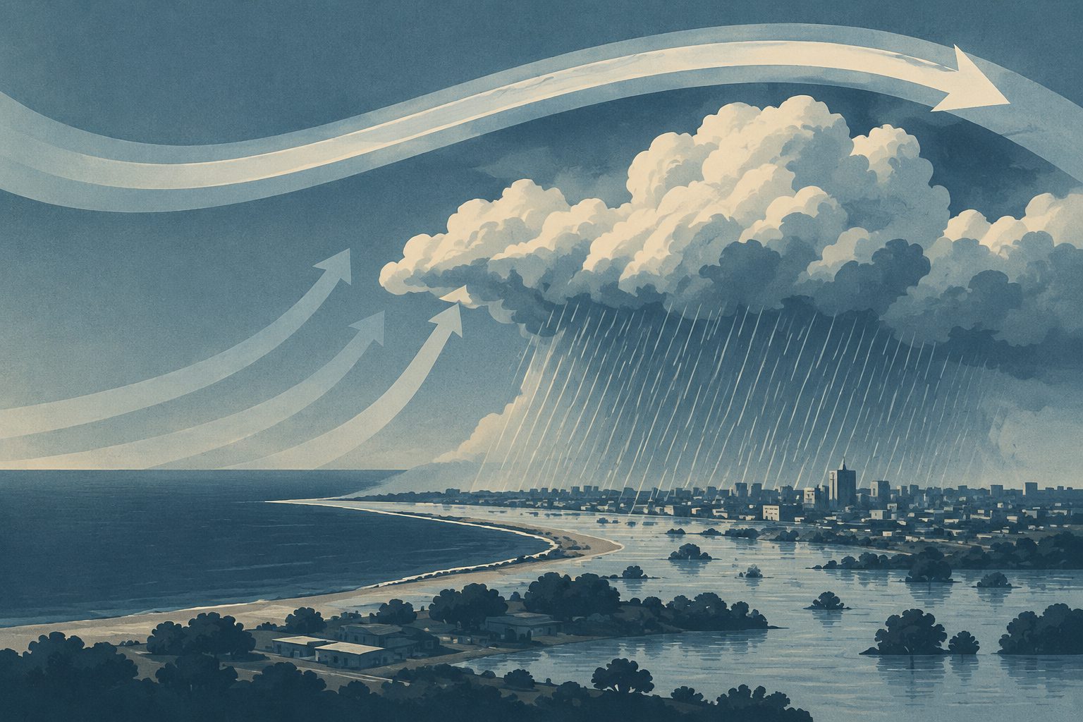
The study links the 7 March 2025 downpour to intense rising air and moisture carried into the storm from several levels of the atmosphere.
Bahía Blanca experienced its heaviest officially documented rainfall on 7 March 2025, an event the Servicio Meteorológico Nacional classified as a historical record with an estimated return period of more than 100 years. Researchers used satellite rainfall estimates and atmospheric reanalysis data to examine the event in consistent 24-hour periods.
They found a corridor of strong moisture transport directed toward the region. Above the storm, an unusual high-altitude jet pattern was associated with extreme divergence, which helped support very strong upward motion. Moisture arrived not only near the ground but also from the middle and upper parts of the lower atmosphere, consistent with a deep, moist air stream feeding the rainfall.
How the rain formed
The rainfall footprint seen by satellite was aligned with a persistent corridor of enhanced integrated water-vapor transport toward southeastern Buenos Aires Province. Upstream of Bahía Blanca, the high-altitude jet showed unusually strong along-flow acceleration, at the 99.3rd percentile for the study’s daily metric. Divergence at 200 hPa was at the 99.8th percentile, while the measure of deep upward motion reached the 99.9th percentile.
The moisture transport extended through the atmosphere rather than being limited to the layer near the surface. Fluxes from 700 to 300 hPa made substantial contributions, consistent with a deep, warm-conveyor-belt-like moist airstream. The researchers conclude that the jet-related divergence and strong ascent, combined with record-level moisture transport, produced the observed extreme rainfall.
// Source
Journal of Southern Hemisphere Earth System Science · 2026 · DOI: 10.1071/es26015
Authors: R. Hierro
Institutions: Austral University, Comisión de Investigaciones Científicas