A forest sensor network tracks water and carbon from soil to treetops
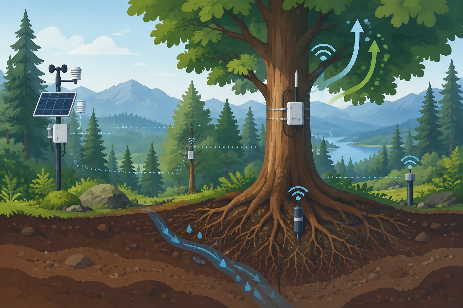
The ECOSENSE forest combines more than 1,100 sensors to monitor ecosystem processes across space and time.
Editorial illustration — not from the study.
The ECOSENSE project brings together environmental scientists, engineers and data specialists to monitor how forests exchange water and carbon under changing conditions. Its field system includes three large scaffold towers in different plots, along with sensors positioned from the soil to above the canopy.
The researchers describe the system’s power supply, communications network and data management infrastructure. More than 670 commercial sensors and 430 self-built sensors collect measurements with high spatial and temporal resolution, with the aim of creating a stable and flexible research platform for remote forest sites.
Inside the forest network
The researchers established the ECOSENSE forest, a distributed monitoring system spanning below-ground, tree and atmospheric processes. Three scaffold towers support measurements in different forest plots. In total, more than 670 commercial sensors and 430 self-built sensors monitor over 90 distinct parameters, fluxes or processes, generating upwards of 4,500 time series.
The system uses low-cost and commercially available components for power, communication and data management. The authors present the infrastructure and their practical experience as a possible blueprint for other distributed forest monitoring projects.
Why continuous monitoring matters
Forests are exposed to stresses including drought, pests and pathogens, while their water and carbon exchanges affect the wider Earth system. A monitoring system that gathers measurements across soil, trees and the atmosphere could help researchers study how these processes change across locations and over time.
The project also addresses a practical challenge: keeping research equipment powered, connected and able to store data at remote sites. The authors’ design may provide a starting point for projects seeking more continuous and resilient field measurements.
What the study shows
This is an infrastructure and methods article describing a monitoring system, its components and the researchers’ experience establishing it. The abstract documents the scale and coverage of the sensor network, but it does not report results from a particular drought, pest outbreak or other forest stress.
It also does not provide detailed cost figures or show how accurately the system predicts ecosystem changes. The abstract therefore supports the system’s use as a research infrastructure and potential blueprint, rather than conclusions about forest responses or the network’s performance across other sites.
// Source
Geoscientific instrumentation, methods and data systems · 2026 · DOI: 10.5194/gi-15-253-2026
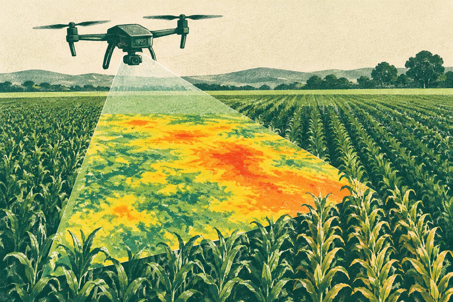
High-resolution drone maps detected early crop water stress before changes appeared in other plant measurements. The approach tracked evapotranspiration—the movement of water from soil and plants into the air—across sugar beet, potato and winter wheat fields.
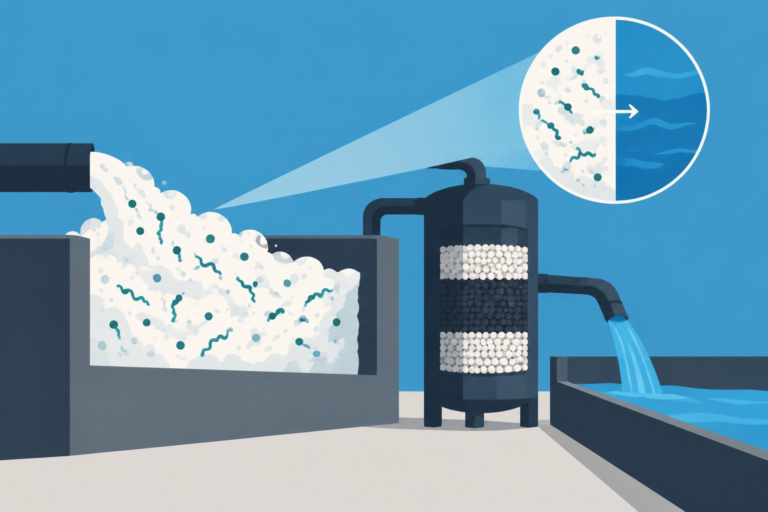
A pilot-scale system removed long-chain PFAS, including PFOS and PFOA, from municipal wastewater and concentrated the compounds in a small volume of foam. Under the best-performing conditions, a subsequent treatment destroyed and removed more than 99% of measured PFAS in that concentrated foam.
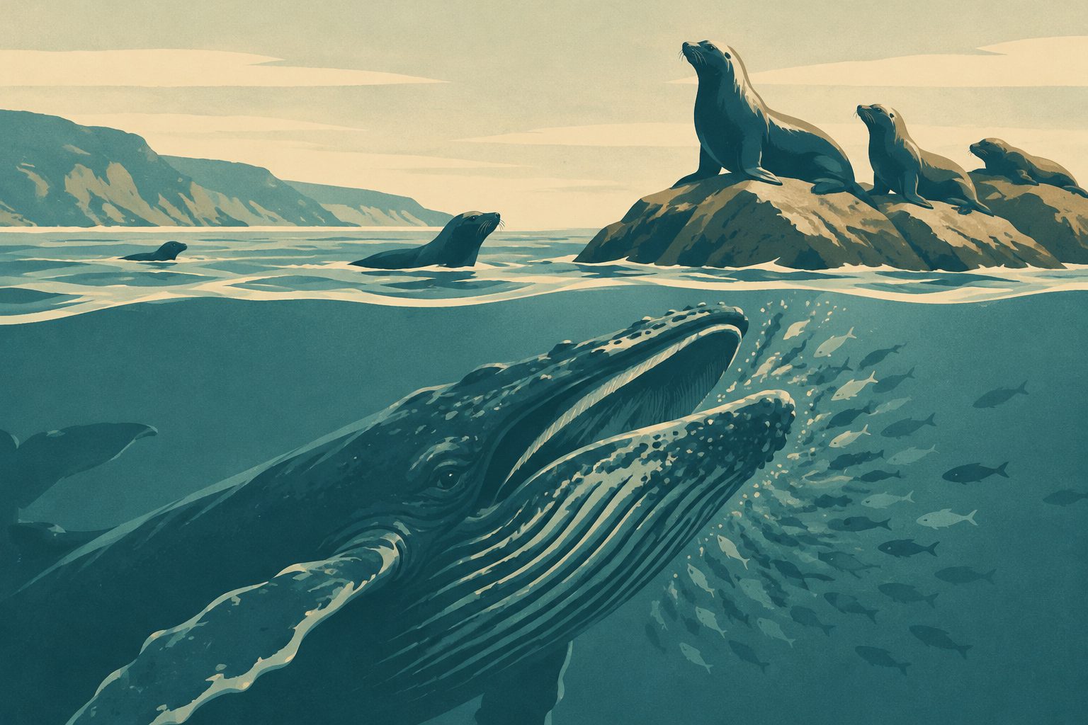
Humpback whales in Monterey Bay fed more frequently when California sea lions were present. The whales appeared to spend less time searching and approaching prey, while the effort and movement of individual lunges showed no detectable increase.