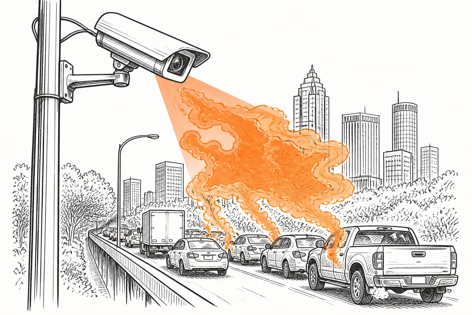
An AI system combines roadside camera images with real-time monitoring to identify pollution hotspots on individual roads in Atlanta’s urban core.
Researchers developed an AI-based “digital twin” that uses vehicle classification from roadside cameras and real-time traffic information to estimate emissions on individual road segments in Atlanta’s urban core. The system produces hourly estimates rather than relying only on static records such as vehicle registrations.
The analysis found that conventional inventories underestimated pollution burdens in specific locations, in part because they overlooked the effect of freight traffic traveling between cities. The researchers say the approach can identify pollution hotspots and support real-time monitoring and local exposure forecasts.
Where pollution clusters
The researchers built a high-resolution digital twin—an evolving computer representation of a real-world system—that estimates hourly, road-segment-level emissions in Atlanta’s urban core. It combines deep-vision vehicle classification, which identifies vehicle types from images, with data from real-time roadside camera networks.
The system showed that traditional emissions inventories systematically underestimated localized air pollution burdens. The researchers linked this shortfall partly to the substantial contribution of inter-city freight transportation, which registration-based inventories can miss. The framework identified corridor-specific hotspots and was assessed using Monte Carlo uncertainty analysis, a method that tests how uncertainty in inputs affects results.
// Source
npj Sustainable Mobility and Transport · 2026 · DOI: 10.1038/s44333-026-00116-1
Authors: Tao Wang, Bukola Bakare, Joshua S. Fu, Sara Hsu, Yemisi Bolumole, Zifa Wang, Jia Xing
Institutions: University of Chinese Academy of Sciences, Middle Tennessee State University, University of Tennessee at Knoxville, Knoxville College, Chinese Academy of Meteorological Sciences, Institute of Atmospheric Physics