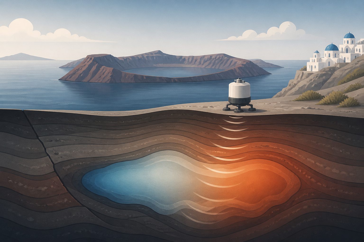
Measurements from 2023 to 2025 suggest magma and possibly fluids moved beneath the Greek volcanic island as earthquakes and ground swelling changed.
Researchers carried out four gravity surveys on Santorini between September 2023 and June 2025, using 31 stations on Thera and Nea Kameni. They combined the readings with data from four permanent ground-position stations to account for changes in the islands’ surface shape.
Gravity increases recorded in June 2024 were found around the area linked to a deeper source inferred from the ground-position data. The researchers interpreted this pattern as a deeper magma intrusion associated with inflation from August 2024 to January 2025. During the February 2025 earthquake crisis, the earlier mass increase ended, while the data indicated possible movement of a dyke or hot fluids near the Kolumbo fault zone. By June, most changes were minor, although the Fira area showed another possible increase in underground mass.
What changed beneath Santorini
The June 2024 survey found gravity increases in several areas, including part of central Nea Kameni and the areas around Fira, Imerovigli and Oia. These increases formed a roughly ring-shaped pattern around the location of a deeper source inferred from GNSS data. The researchers interpreted the pattern as a possible deeper magma intrusion that caused substantial ground swelling between August 2024 and January 2025. Seismicity was also above its background level during this period.
A February 2025 survey, conducted during the earthquake crisis, showed that the earlier broad increase in underground mass had ended. It also indicated possible movement of a dyke or hot, water-rich fluids within the Kolumbo fault zone. The researchers’ modelling found that fluids filling porous volcanic rocks could produce a gravity signal like the one observed. At the same time, the earlier swelling was followed by rapid, steep sinking of the surface, and the main earthquake swarm moved northeast toward Anydros. In June 2025, changes were mostly small, apart from a possible mass increase near Fira, where another dyke or fluid intrusion was inferred alongside a small earthquake swarm and minor swelling inside the caldera.
Why the measurements matter
The results show how repeated gravity measurements, combined with ground-position data, can add information about underground changes during a short period of volcanic unrest. In this case, surveys separated by months helped track a sequence that included possible magma intrusion, surface swelling, rapid sinking and possible movement of fluids. The authors conclude that gravity monitoring can contribute to short-term monitoring of volcanic activity at Santorini.
Evidence and caveats
The study is based on four gravity campaigns at 31 stations, supported by data from four permanent GNSS stations. The measurements were corrected for surface deformation, and the possible fluid signal was tested with modelling. However, the campaigns were separated by months, and the interpretations of magma, dyke and fluid movement are based on patterns in the measurements and models rather than direct observation underground. The abstract describes some intrusions as possible or inferred, so the data do not establish every proposed process with certainty.