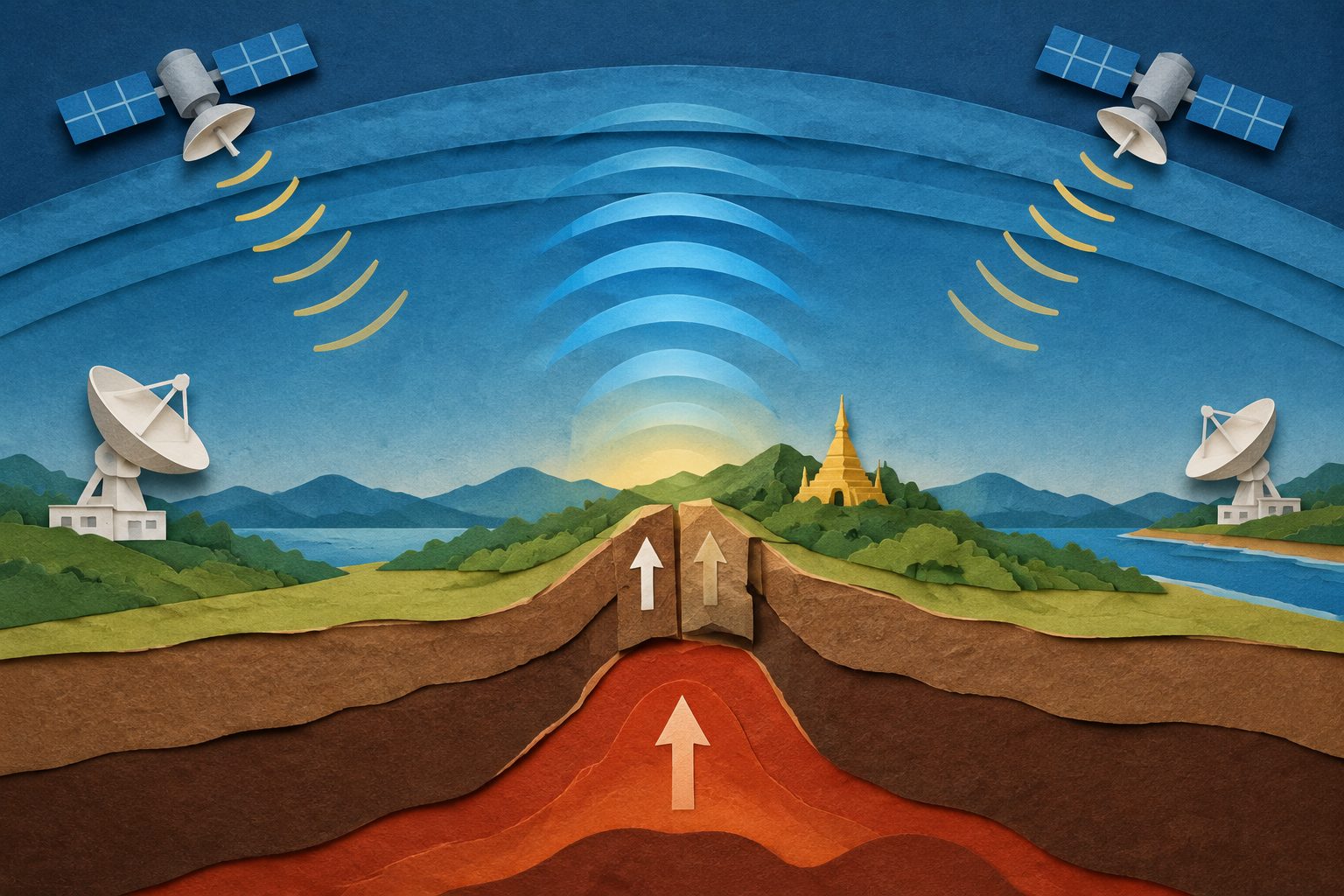
The 28 March 2025 earthquake ruptured about 480 kilometers of the Sagaing Fault, but sparse ground-based positioning measurements near the fault made its three-dimensional surface movements difficult to determine. Radar measurements showed several meters of sideways motion, while separating vertical movement from those data is challenging.
In the new approach, researchers analyzed changes in the amount of electrically charged material in the upper atmosphere, recorded by satellite-navigation stations more than 300 kilometers from the epicenter along the India–Myanmar border. They used the timing and size of three peaks in these signals to estimate the positions and relative strengths of acoustic wave sources, then compared the results with fault-slip estimates from seismological observations.