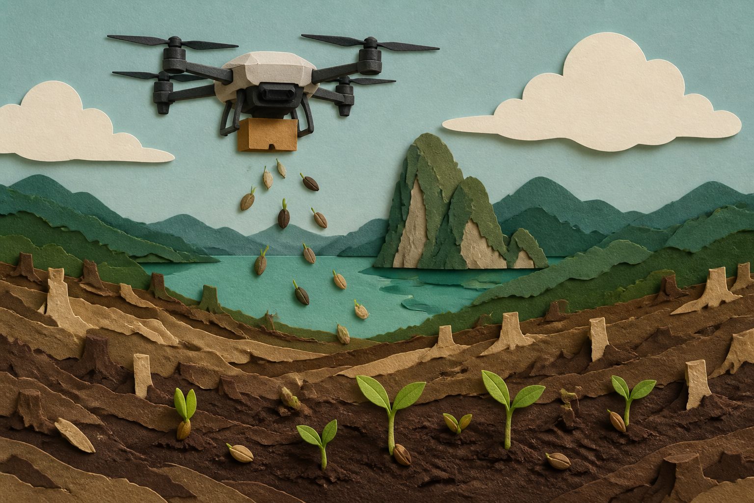
The autonomous system placed most seeds within 0.66 metres of their targets during a controlled flight at 5 metres.
The system combines a lightweight seed-dropping mechanism with a multirotor drone, LiDAR for following uneven ground and an on-board switch that confirms each release. It records the location of every drop, allowing researchers to compare planned and observed seed placement.
Tests at an active reforestation site examined how release height affected drift and interactions with terrain. The researchers found that flying at 3–5 metres offered a practical operating range for precise seeding, while a controlled test at 5 metres placed 95% of drops within 0.66 metres of their targets.
Where the seeds landed
The drone carried 30-millimetre biochar-coated seed balls and released them at planned locations rather than broadcasting them broadly. In tests at 5, 10 and 15 metres, wind-aligned drift and terrain interactions affected where seeds landed. The researchers identified 3–5 metres as a practical height range for precision deployment. At 5 metres in a controlled test, 95% of drops landed within 0.66 metres of their targets. During a representative autonomous mission with 27 waypoints, the system confirmed 24 drops that also matched ground observations, for a 90% mission success rate.
Tests and open questions
The evidence comes from a system design, altitude-sensitivity study and field evaluation at an active reforestation site in Northern Thailand, including a controlled test and one representative 27-waypoint autonomous mission described in the abstract. These results show the feasibility and placement accuracy of the system under the tested conditions. The abstract does not report long-term germination, seedling survival, forest recovery or performance across a range of sites and weather conditions, so those outcomes remain untested here.