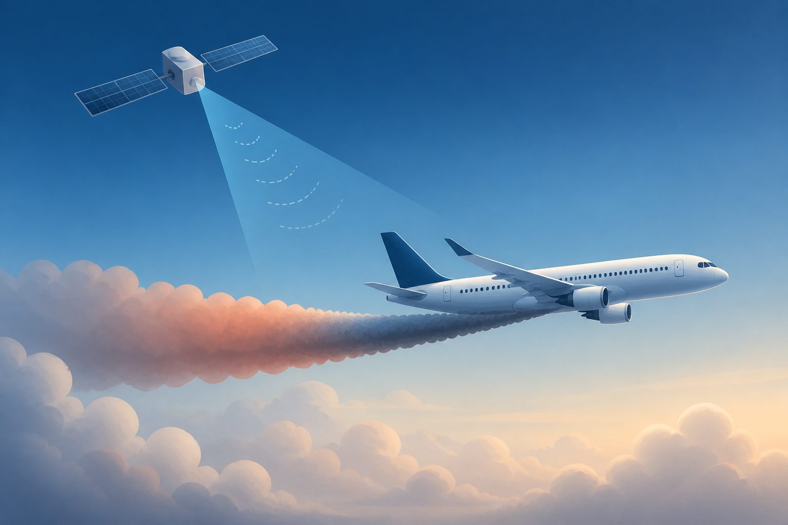
Global navigation satellite systems can provide geometric altitude, based on an aircraft’s position relative to the Earth, while current cruise operations generally use barometric altitude measured from air pressure. The study examined how switching between the two would affect flight efficiency and altitude limits.
Researchers re-simulated more than 600 real scheduled flights under geometric-altitude conditions. On average, the simulated flights used more fuel during cruise, and many would risk exceeding their maximum barometric altitude, requiring additional step descents to avoid doing so.