Modelled land-use choices could either reduce or increase the park’s water, food and climate-related services, depending on the scenario.
Researchers modelled future land-cover changes and ecosystem-service values in Maze National Park and 17 surrounding local administrative areas. They compared a business-as-usual pathway, which continues historical development trends, with a governance scenario based on more regulated and environmentally focused land-use change.
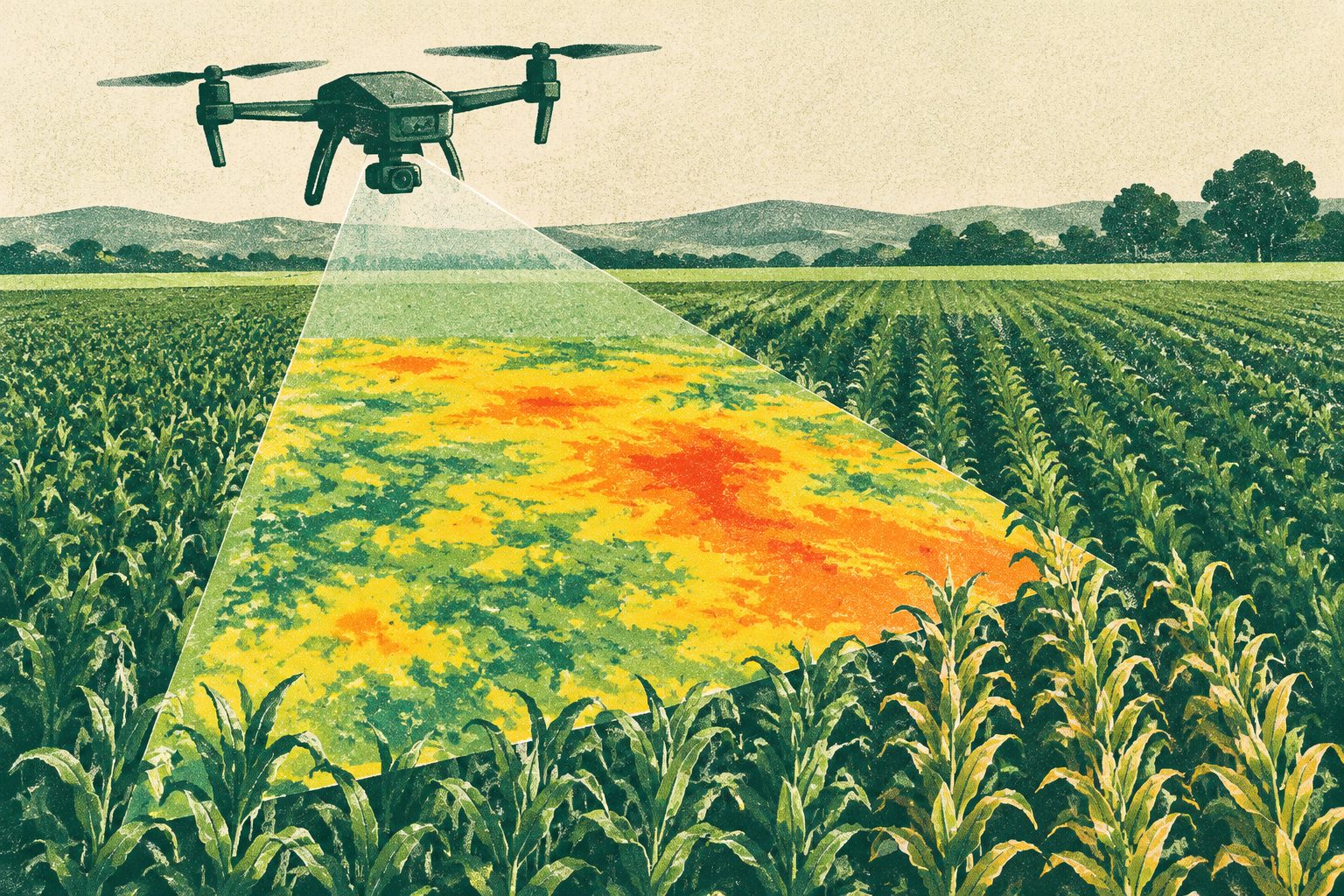
Using historical land-cover maps, climate projections and ecosystem-service analysis, the study estimated conditions in 2050. Both climate scenarios projected higher minimum and maximum temperatures and less rainfall than the historical baseline, while the land-use results differed sharply between the two planning pathways.
Projected changes by 2050
Under the business-as-usual scenario, food production is projected to increase slightly by 2.3% by 2050. Water supply is projected to fall by 7.61%, raw-material services by 6.72% and climate regulation by 5.57%.
The governance scenario instead projects increases in all four measured services: food production by 10.94%, water supply by 22.26%, raw materials by 19.93% and climate regulation by 17.07%.
Climate projections under both the moderate- and high-emissions pathways show higher minimum and maximum temperatures and lower rainfall than historical conditions. The researchers say these changes are expected to negatively affect the provision of key ecosystem services.
Why land-use choices matter
The projections show that future ecosystem services around Maze National Park could differ substantially depending on how land-use change is managed. They also indicate that warming and reduced rainfall could put pressure on services including water supply, food production, raw materials and climate regulation.
The researchers argue that regional planning should account for both future climate conditions and possible land-cover changes, alongside land management, climate adaptation and mitigation, and ecosystem conservation.
Models and limitations
This is a modelling study, not an observation of conditions in 2050. Researchers used land-cover maps from 1985, 1995 and 2020, climate data from the WorldClim database and climate projections from global circulation models under two emissions pathways. A multilayer perceptron neural network projected land-cover change, and Spearman correlation was used to examine the relationship between projected climate change and ecosystem services.
The study’s main stated limitation is data scarcity. The land-cover projections used topography and proximity to features such as roads, rivers and settlements, but did not include socioeconomic or population-related variables. The authors say including those factors could improve prediction accuracy.