How Greek engineers shaped Apollonia into Cyrene’s harbor
A new reconstruction shows how builders used rocky ridges, islands and quarried stone to protect and organize the ancient port.
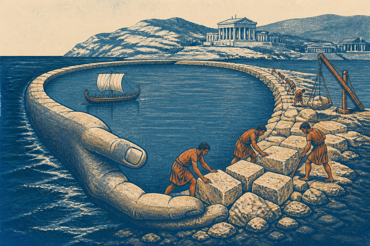
Editorial illustration — not from the study.
Researchers combined a 1958–59 underwater survey with published research, new drone imagery and underwater measurements made in 2025. They reconstructed the coastal landscape before settlement and examined how quarrying and rock-cut construction reshaped it for maritime use.
The reconstruction points to a planned system of breakwaters, channels, quays and work areas. Features around Grotto Reef, Hammam Island and Sharkea Island appear to have helped shield the port from dominant north-westerly waves, while later fortifications strengthened its role as a naval base.
How the harbor took shape
Apollonia formed around calcareous rock ridges, shallow channels and small islands that had been shaped by wind-deposited sand and later exposed or submerged. The researchers conclude that early settlers did not simply use the natural anchorage: they modified it through quarrying, rock-cutting and the placement of rubble and cut stone.
The proposed early sequence includes a northern breakwater, a channel through the coastal ridge known as the tombolo, the progressive carving of Grotto Reef and Hammam Island, and the creation of work spaces and quays. These works were part of a coherent engineering strategy already under way in the sixth and fifth centuries BC. The study also examines entrance channels, slipways or shipsheds, and large wave-trap systems intended to reduce the effects of north-westerly seas.
The researchers argue that later tectonic uplift and subsidence, rather than changes caused by the rise and fall of ice sheets, drove major relative changes in sea level at the site. These movements submerged substantial parts of the port and altered the archaeological record.
Why Apollonia matters
The study presents Apollonia’s harbor as a central part of Cyrene’s development from its earliest phases, rather than as a secondary addition to the inland city. It shows how builders combined natural coastal features with carefully placed stone and carved structures to support commercial and military activity.
Understanding those changes also matters for interpreting the remains now underwater. Distinguishing original construction from later quarrying, collapse and shoreline movement can help researchers reconstruct how the port developed over more than 1,200 years.
Evidence and open questions
The reconstruction draws on an earlier underwater survey, published studies, drone imagery and new underwater measurements from 2025. Researchers estimated the original size of the rock ridges and the amount removed by using excavated areas on the seabed, surviving features, wind and wave data, and the volume of quarried material. They interpret the remaining carved structures and barriers alongside the coastal geology.
Important uncertainties remain. The exact dates of the earliest rock-cut features, the first harbor entrance, the relationship between quarrying and structural design, and the development of the slipways are unresolved. The timing and size of the tectonic movements also need more geological and geoarchaeological work. Storms, erosion and destructive fishing have damaged much of the submerged city, limiting what can be recovered from the existing remains.
A review of Legal Plunder describes a new framework for examining how the criminal legal system extracts money, labor and other resources from people subject to it. The framework includes fines, administrative fees, asset forfeitures, charges behind bars and labor requirements under supervision.
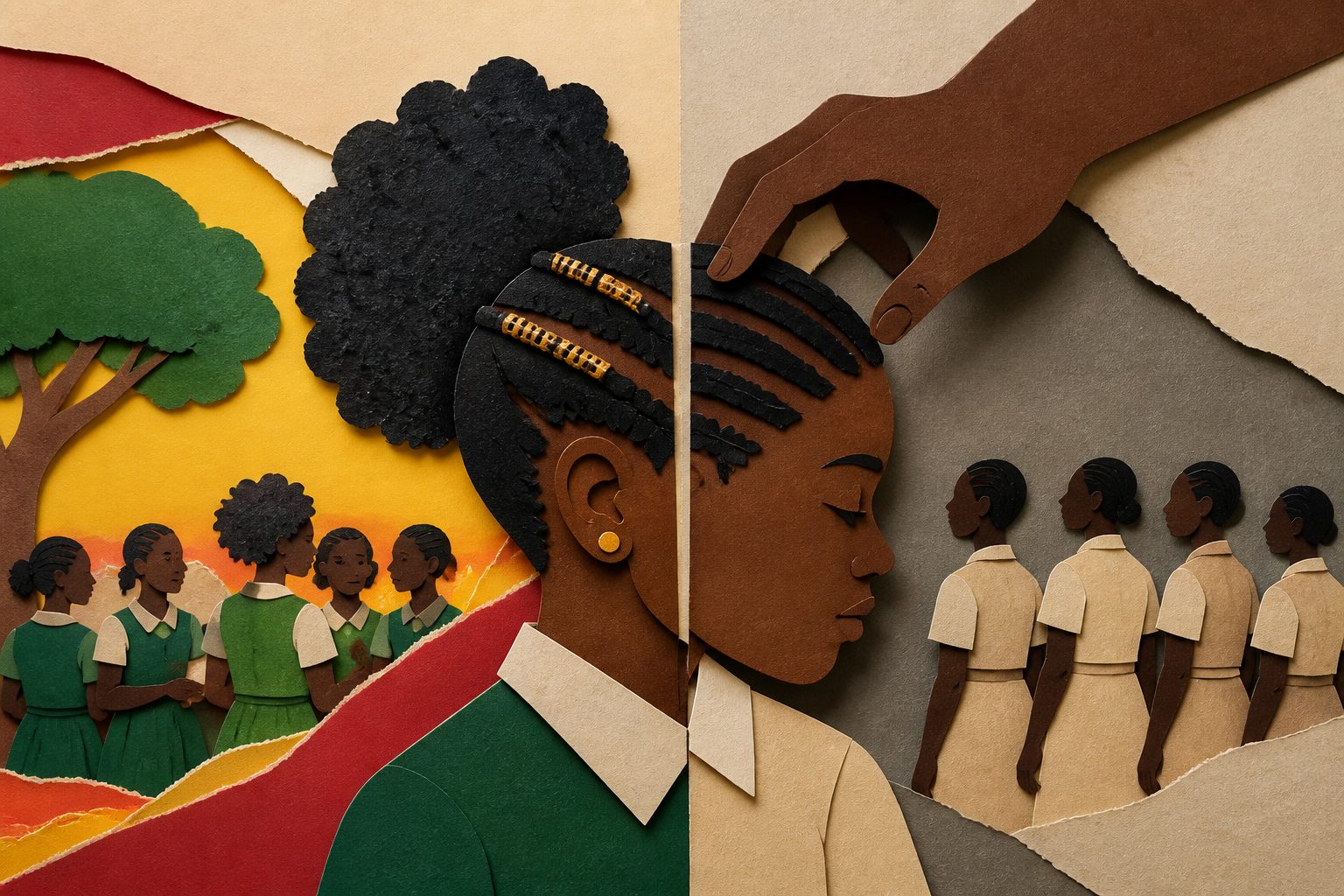
Research in Ghana’s Greater Accra Region finds that school hairstyle rules regulate more than appearance: they also shape how students experience discipline, recognition and belonging. Students responded through compliance, adaptation, negotiation and resistance, including resistance to expectations around straightened hair.
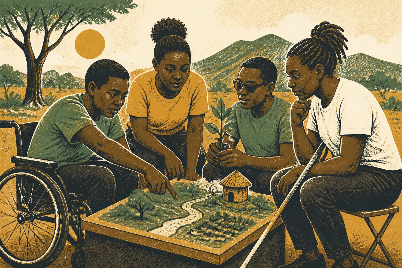
More than 30 young people with disabilities in Harare took part as co-researchers in a study of climate adaptation and disability. Through storytelling, mapping and group discussions, they challenged exclusionary views and developed ideas including community-led data systems, accessible communication and youth-led advocacy.