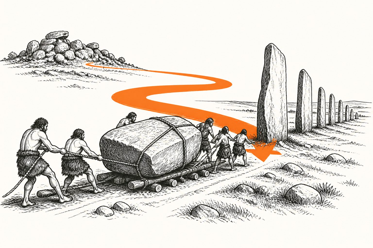
Geological evidence links the 7-metre stones at the Devil’s Arrows to a distinctive upland landscape rather than nearby local rock.
The three surviving Devil’s Arrows stand about 7 metres tall and weigh roughly 25 tonnes each. Their geological source has been disputed, but new analysis links the stones to Millstone Grit outcrops at Brimham Rocks, about 18 kilometres to the west.
The researchers used age patterns in tiny zircon and apatite minerals to compare the stones with possible source rocks. They also found that regional ice-flow patterns rule out the stones being carried from Brimham by glaciers, while similar surface weathering and possible cup-and-ring rock art provide further connections to the landscape.
Where the stones came from
The stones contain a combination of geological age signals, including Lower Palaeozoic, Mesoproterozoic and Archean ages, that links them to the Millstone Grit outcrops at Brimham Rocks. Brimham is about 18 kilometres west of the Devil’s Arrows.
Regional reconstructions of ice movement exclude glacial transport from Brimham. Shared surface weathering, along with possible cup-and-ring rock art, offers additional links between the stones and the source landscape. Taken together, the findings indicate that the megaliths were purposefully extracted and transported from this specific upland area rather than selected opportunistically from nearby stone.
Why the source matters
The findings suggest that building the Devil’s Arrows involved more than moving available rock over a short distance. The people who built the monument appear to have engaged deliberately with a particular, visually distinctive landscape and then transported very large stones from it.
That links the monument’s construction to both place and engineering, offering evidence that prehistoric choices about stone sources may have carried landscape significance as well as practical consequences.
Evidence and limits
The study combines mineral age fingerprints with geological comparisons, reconstructions of regional ice flow, observations of surface weathering and possible rock-art evidence. This provides a geological and landscape-based case for Brimham Rocks as the source and for deliberate transport.
The abstract does not describe a direct record of the prehistoric quarrying or journey, and it presents the cup-and-ring rock art as potential rather than confirmed. The conclusions therefore depend on how these different lines of evidence are interpreted together.
// Source
Proceedings of the Royal Society A Mathematical Physical and Engineering Sciences · 2026 · DOI: 10.1098/rspa.2026.0504
Authors: Anthony J. I. Clarke, Jim Leary, Christopher L. Kirkland
Institutions: Curtin University, University of York