A training-free pipeline raised the share of segmented imagery from 30–68% to 91–98% across seven urban and agricultural scenes.
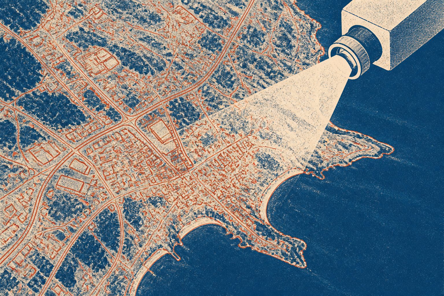
The pipeline runs the Segment Anything Model 2 several times on smaller sections of an image. It accepts the most precise outlines first, then relaxes its standards only when coverage stops increasing. A separate matching step reconnects objects divided by the edges of those sections.
Across seven urban and agricultural scenes, with image detail ranging from 5 centimetres to 4.78 metres per pixel, coverage rose from 30–68% with a single pass to 91–98%. The method also processed a 1.94-billion-pixel image mosaic at 97% coverage and transferred to false-color imagery without retraining.
What the pipeline achieved
Remote SAMsing does not modify Segment Anything Model 2 and requires neither training data nor manual threshold tuning. Its only setting that depends on a scene is the size of the image tiles.
Across seven urban and agricultural scenes, the pipeline raised segmentation coverage from 30–68% with single-pass use of the model to 91–98%. It recovered buildings with 95% accuracy and cars with 82–93% accuracy at the study’s reported detection threshold. Its object boundaries were 3–8 times more precise than those produced by SLIC and Felzenszwalb, two other image-segmentation methods.
The pipeline reached 99.5% average segmentation accuracy on false-color imagery without retraining. It also segmented a 1.94-billion-pixel Potsdam mosaic at 97% coverage, with no reported loss of quality between object classes.
Why broader coverage matters
Large Earth-observation images often have to be divided into tiles before an AI system can process them, which can leave objects incomplete at tile edges. This pipeline both increases the amount of an image that receives an outline and reconnects objects split by those edges.
Because it uses no training data or manual threshold tuning, the approach could make object-based analysis of very large remote-sensing images more accessible. The reported results also suggest that tile size can serve as the main control over the scale of objects detected.
Evidence and caveats
This is a journal article reporting tests on seven urban and agricultural scenes, covering image detail levels from 5 centimetres to 4.78 metres per pixel, plus a 1.94-billion-pixel Potsdam mosaic and false-color imagery. The abstract reports comparisons with single-pass Segment Anything Model 2, SLIC and Felzenszwalb, along with object-level and boundary measurements.
The abstract does not describe results across a wider range of landscapes, image types or tile sizes, so the findings may not apply equally to all remote-sensing data. It also does not give detailed failure cases or explain how performance changes when the tile size is altered.