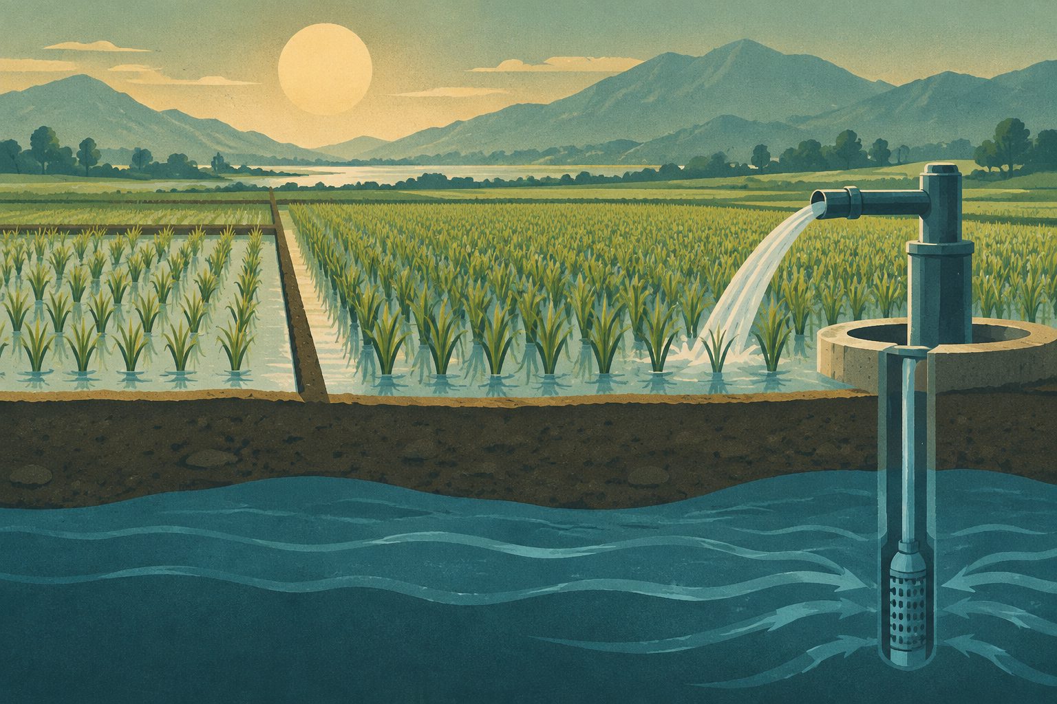
A model of rice-growing in Punjab, Pakistan, projects larger crop areas and heavier groundwater withdrawals by 2060.
Researchers analyzed socioeconomic and hydrometeorological data from 1950 to 2020 to examine why rice-growing areas change over time and from year to year. They found that rice area was strongly linked to delayed changes in crop prices, yields and river water availability.
The researchers compared a multiple linear regression model with a system dynamics model that included rising farmer income as a factor promoting expansion and water stress as a factor limiting it. The system dynamics model more closely reproduced historical changes and was used to project future rice area and groundwater withdrawals.
Rice area and water use
Rice area in the Indus River Basin, with a focus on Punjab, Pakistan, was strongly influenced by lagged relationships with crop prices, yields and river water availability. A multiple linear regression model captured some changes but did not reproduce the observed dynamics well. A system dynamics model that included feedback from farmer income and water stress matched the historical record more closely, with an R² of 0.95 and a normalized root mean square error of 9.8%.
The model projects a 35–50% increase in rice crop area and a 45–60% increase in groundwater withdrawals by 2060. The study describes this as an increasingly unsustainable reliance on groundwater.